


58
Owner's Manual
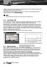
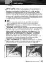
Lights in the correct color based on boats position with all the Nav-Aids name
displayed below the Nav-Aid symbol.
This feature is ON by default. You can turn it OFF in the Advanced Chart
Settings section of the SYSTEM Page.
Only Nav-Aids that are within the nominal range of the vessel are lit.
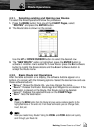
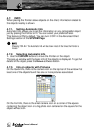
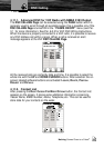
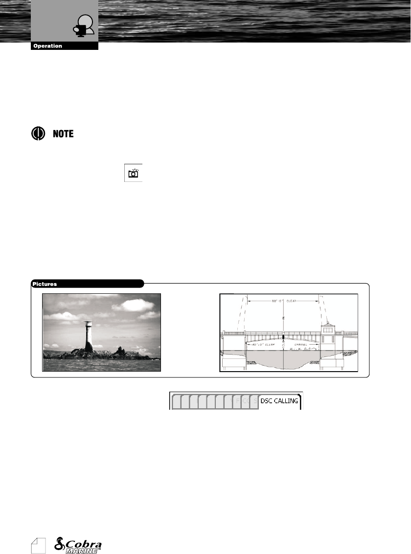
4.10. PICTURES
The C-MAP NT
+
TM
/MAX
TM
data format allows assigning one or more image to
any chart object. These Pictures are typically used to facilitate the
identification of cartographic objects or places around the map: they can be
the landscape layout nearby a harbor, the shape of a bridge or of a buoy etc.
On some objects, such as bridges, the image associated can represent the
Diagram representing the shape of the objects and the various characteristics
(length, height, type of bridge etc.).
Place your Pointer over the camera icon to show a picture.
4.11. DSC CALLING
DSC (Digital Selective Calling) is a method of establishing a VHF radio call.
DSC had also been designated as part of the Global Maritime Distress and
Safety System (GMDSS). It is planned that DSC will be used to announce
routine and urgent maritime safety information broadcasts.
This new system allow mariners to instantly send a distress call with GPS
position (when connected to the transceiver) to the US Coast Guard and other
vessels within range of the transmission. DSC will also allow mariners to
initiate Position Request, Position Send calls to or from another vessel
equipped with a DSC transceiver.
Dynamic Nav-Aids
Pictures