


24
Owner's Manual
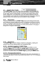
3.3. CHART ONLY PAGE
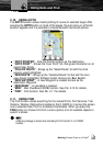
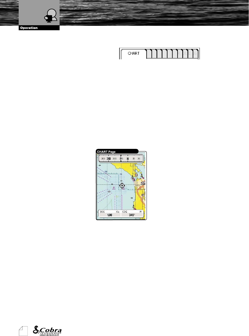
The CHART Page is the main page of the chartplotter. From this page the
user can select the desired map, get information about cartographic objects
on the maps, see the vessel position, its direction and speed, place points
(Marks, Waypoints), set a destination point and display additional features.
The chartplotter is provided with worldwide background cartography while the
detailed charts of the desired area are available on data cartridges.
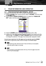
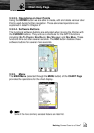
3.3.1. Description
The picture below shows the CHART Page layout with displayed data fields
and a steering compass added at the top. It is possible to customize all fields
shown in the page as described later in this paragraph. The central section of
the screen provides visual guidance of a chart and the bottom of the page is
designed for navigation data display.
3.3.2. Operations
The CHART Page is used for display of electronic cartography, creating and
using the User Points, plotting position and navigational data.
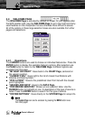
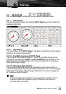
3.3.2.1. Available Layouts of CHART Page
The data fields of the CHART Page can be customized as HIDE, 2, 4 or 6
through the MENU button. By default the CHART Page is specified for 2 data
fields and a Steering Compass added over a Horizon. The Compass can be
turned Off in the Main Menu of the CHART Page by pressing the MENU button.
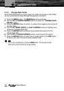
3.3.2.2. Changing Data Options
The content of each data field can be adjusted to the user’s requirements. To
customize data options follow the procedure described in Par. 2.7.2 Changing
Data Fields.
Chart Only Page