


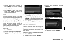
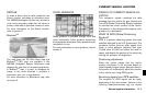
DETOUR
To make a detour due to traffic conditions, the
Detour function calculates an alternative route.
The NISSAN Navigation System can calculate a
route using secondary roads that will return to
primary roads after a specified number of miles.
For more information on the Detour function,
refer to section 5.
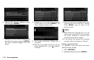
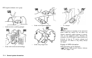
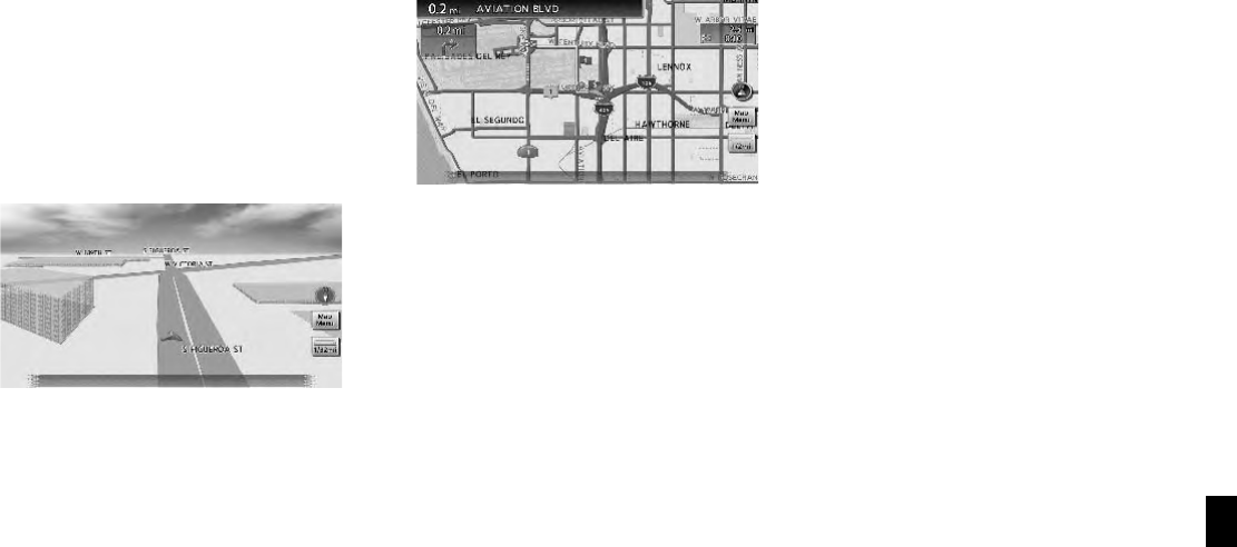
Birdview
TM
Two map types, the 2D (Plan View) map and
Birdview
TM
(3D)map,areavailableinthe
NISSAN Navigation System. Birdview
TM
map
displays the map from an elevated perspective.
In Birdview
TM
map, it is easy to recognize an
image of the route because it provides a
panoramic view over a long distance.
For more information on Birdview
TM
map, refer
to section 3.
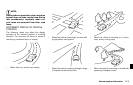
VOICE GUIDANCE
Route guidance is provided through voice and
visual instructions. Voice guidance announces
the appropriate directions when approaching an
intersection to turn.
For more information on voice guidance, refer to
section 5.
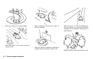
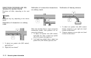
DISPLAY OF CURRENT VEHICLE LO-
CATION
This navigation system combines the data
obtained from the vehicle (by gyro sensor) and
from GPS (Global Positioning System) satellites
to calculate the current location of the vehicle.
This position is then displayed throughout route
guidance to a destination.
WHAT IS GPS (Global Positioning
System)?
GPS is a position detecting system that uses
satellites deployed by the U.S. government. This
navigation system receives radio signals from
three or more different satellites that orbit
13,049 miles (21,000 km) above the earth in
space, and detects the position of the vehicle by
utilizing the principle of triangulation.
Positioning adjustment
When the system judges that the vehicle
position information is not accurate based on
vehicle speed and gyro sensor data calculations,
the system will automatically adjust the position
of the vehicle icon using GPS signals.
Receiving signals from GPS satellites
The reception of GPS signals can be weak,
depending on the environment. Vehicles in the
following areas/environments may not receive
General system information 10-3
CURRENT VEHICLE LOCATION