


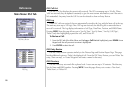
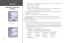
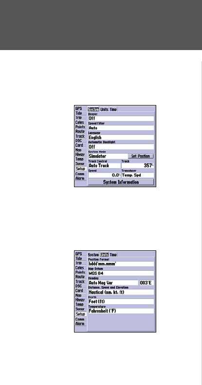
Track Control* – ‘Auto Track’ steers to the current navigation point. ‘User Track’ allows you to
enter a heading in the ‘Track’ field.
Track* – lets you enter a heading.
Speed* – lets you enter a speed.
Transducer* – lets you simulate using a Depth Only, Temp Only, or Temp/Speed transducer.
* These fields only appear when the unit is in Simulator Mode.
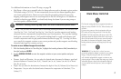
• System Information – displays the unit’s software, basemap version, and electronic serial number.
Press
MENU for the following options:
• Defaults – restores settings on System page to default values.
• All Unit Defaults – restores all settings to Garmin’s original setup values for the entire unit.
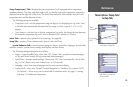
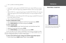
Units SubmenuTab— defines settings for Position Format, Map Datum, Heading, Distance, Speed,
Elevation, Depth, and Temperature.
The following settings are available:
• Position Format – is used to change the coordinate system in which a given position reading is
displayed. You should only change the position format if you are using a map or chart that speci-
fies a different position format or wish to use a format you are familiar with. The default format is
latitude and longitude in degrees, minutes, and thousandths of a minute (hddd°mm.mmm’). The
following additional formats are available:
• hddd.ddddd° – latitude/longitude in decimal degrees only
• hddd°mm’ss.s”
– latitude/longitude in degrees, minutes, seconds
• UTM/UPS
– Universal Transverse Mercator / Universal Polar Stereographic grids
• British Grid • Dutch Grid • Finnish KKJ27 • German Grid
• India Zones • Irish Grid • Loran TD • Maidenhead
• MGRS • New Zealand • Qatar Grid • RT90
• Swedish Grid • Swiss Grid • Taiwan Grid • User Grid
• W Malayan RSO
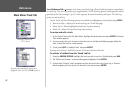
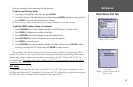
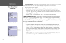
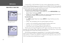
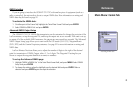
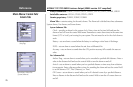
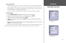
Main Menu: System Tab/
Units Tab
Main Menu—System Tab
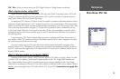
(Simulator Mode)
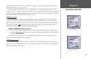
Main Menu—Units Tab
70
Reference