


SECTION 6
GPS Receiver
Reference
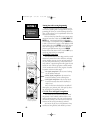
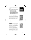
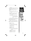
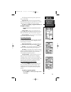
Change Fields - allows you to choose from 29
types of data you want displayed in the four data fields.
See page 112 for descriptions of GPS terms.
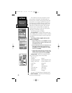
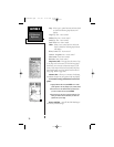
Setup Map - allows you to customize the map
display.
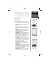
The following setup options are available:
Map - This tab allows to choose from the following
settings.
Detail: Selects map details from More to Least.
Orientation: Selects North Up or Track Up
Auto Zoom: Enables/Disables Automatic Zoom
feature.
Accuracy Circles: Automatically controls map
detail to optimize declutter and
controls to enable/disable street
labels.
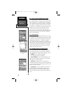
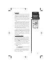
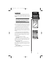
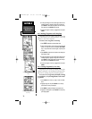
The remaining tabs, Source, Line, Points, City, and
Other allow you to select the maximum scale at which
specific tab features appear on the screen (or ‘OFF’ to
never display the feature) and text size.
Source - This page controls the base map and use
of up to 25 maps used as source for the GPS map
pages. Refer to the Section on Map Source Info on page
70.
Base Map: On/Off control
Map Source: On/Off control
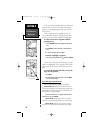
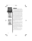
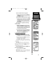
Line - allows you to control zoom levels at which
the following map features will display.
Track Log: Zoom control
Active Route: Zoom control
Local Road: Zoom control
Street Label: Zoom control
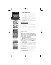
Points - allows you to control text size and zoom
levels at which the following map features
will display.
All Waypoints: Text - Zoom control
Active Route: Text - Zoom control
Common Exits: Text - Zoom control
Special Exits: Text -Zoom control
69
NvTlkGPS.qxd 2/1/00 4:13 PM Page 9