2. PLOTTER DISPLAY
2-4
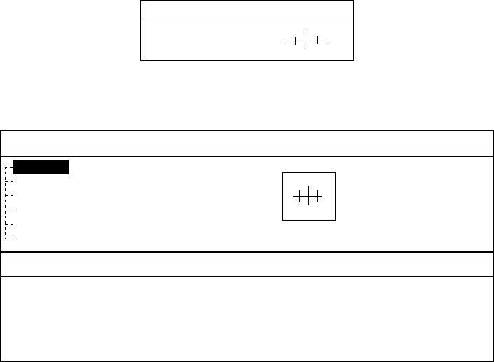
2.2.3 Displaying data
Besides its fundamental functions of providing position data, the cursor can also
provide data for chosen caution area, depth area, source of data, etc. Further,
you can display information about an icon by placing the cursor on it.
1. Press the cursor pad to turn the cursor on.
2. Use the cursor pad to place the cursor on the position desired.
The object information window appears.
Object Info
Wreck
Object information window (ex. wreck)
3. If you want to know more details, press the Details soft key.
Objects
Wreck
Category of wreck
non-dangerous wreck
Water level effect
always under water/submerged
Wreck
Caution area
Depth area
Military practice area
Sea area
Source of data
Object detail window (ex. wreck)
4. Rotate the [ENTER] knob to choose the item you want to know more about.
Detailed information appears in the lower column.
5. Press the [CLEAR] key to close the window.
2.3 Selecting Chart Scale/Range
Chart scale (range) may be selected with the [RANGE] key. The [RANGE +] key
zooms in the chart; [RANGE -] key zooms out it.


