


50
51
The Waypoints Page
Using the Mark Button
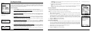
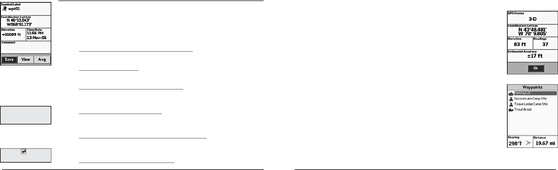
You can use the Mark button (the button with a push pin) on the Earthmate GPS PN-20 to mark a
waypoint at your current GPS location or, if panning, at the cursor position. If you are not panning and
your are not using GPS, the current map center is used. After you add a waypoint, you can customize
the waypoint name, coordinates, and comments.
To Mark a Waypoint
1. Press the Mark button to place a waypoint. The Waypoint Details Page displays.
2. To use a waypoint symbol other than the default red pin, use the arrow keypad to highlight
the default waypoint symbol and press ENTER. Then, use the arrow keypad to browse to
the symbol you want and press ENTER.
3. To change the waypoint label, use the arrow keypad to highlight the default label and press
ENTER. Use the arrow keypad to enter the new label text. Then, highlight OK and press
ENTER.
4. To change the coordinate location of the waypoint, use the arrow keypad to highlight the
Coordinates field and press ENTER. Then, use the arrow keypad to highlight the number
in the coordinate information you want to change. Use the arrow keypad to increase/
decrease the number. Press ENTER when finished.
5. To change the elevation of the waypoint, use the arrow keypad to highlight the Elevation
field and press ENTER. Then, use the arrow keypad to highlight the number in the
elevation value you want to change. Use the arrow keypad to increase/decrease the
number. Press ENTER when finished.
6. To change the date and time that you added the waypoint, use the arrow keypad to
highlight the Time/Date field and press ENTER. Then, use the arrow keypad to highlight the
number in the time/date information you want to change. Use the arrow keypad to move
the number up or down. Press ENTER when finished.
7. To add comments relating to the waypoint, use the arrow keypad to highlight the
Comments field and press ENTER. Use the keyboard to enter the comment text. Then,
highlight OK and press ENTER.
8. To save the waypoint to the Earthmate GPS PN-20, use the arrow keypad to highlight the
Save button and press ENTER.
Note: After you save a waypoint, you can use the Waypoint Details Page to delete the
waypoint, center the map on the waypoint, or create a route to the waypoint.
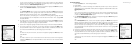
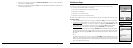
To Average a Waypoint
When a waypoint is averaged, a series of GPS readings for the waypoint’s location is recorded and
averaged to increase the positional accuracy of the waypoint.
Note: You can average a waypoint only at your current GPS location.
1. Mark a waypoint at your current GPS location but do not save it (for more information, see To
Mark a Waypoint on page 50).
2. Use the arrow keypad to highlight the Avg button and press ENTER. The GPS status,
coordinates, elevation, number of readings at the location, and estimated accuracy display. The
more readings you record, the greater the positional accuracy of the waypoint. A small
estimated accuracy number indicates that the waypoint is very close to its actual coordinates.
3. Highlight the OK button and press ENTER.
4. Highlight the Save button and press ENTER.
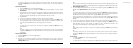
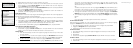
To View a List of Waypoints
1. From the Waypoints Page, use the arrow keypad to highlight the waypoint you want to view
on the map. The Bearing information field displays the bearing from your current GPS location
or cursor position to the selected waypoint. It includes an arrow that points in the direction
of the waypoint, based on the current GPS heading. The Distance information field displays the
distance from your current location to the selected waypoint.
2. Press ENTER to view the waypoint details.
3. Highlight the View button and press ENTER.
The Waypoints Page
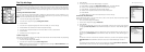
Averaging a waypoint
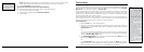
Waypoints list
Note: If you panned to the lo-
cation where you marked the
waypoint, elevation informa-
tion is not available.
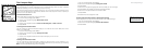
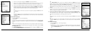
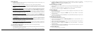
Use the Waypoint Details Page
to customize the waypoint label,
symbol, comments, coordi-
nates, and more
Tip: Select to enter more
than one line of text in a com-
ment.