


30
31
5. Repeat steps 3 and 4 for each point in the line/polygon you want to measure. The Pan Location
Information that displays in the upper-right corner of the screen changes to display the heading
from the last measurement node to your current GPS location, the leg distance, as well as the
total distance from the last measurement node to the first measurement node. It displays the
area once you close a polygon.
Note: Lines must contain at least two points. To make a polygon, you must close the shape by
placing the last point on top of the first point.
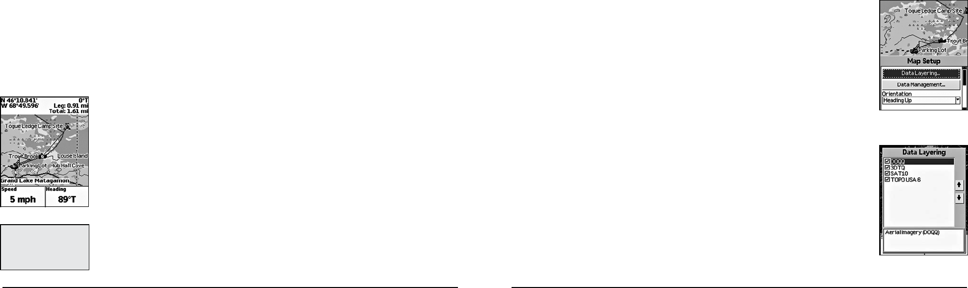
To Set Up the Map
Use the Map Setup option to customize the map by defining data type layering, showing/hiding map
packages, and choosing map orientation, POI detail, how waypoints display on the map, and scale.
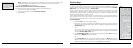
Layering Your Data
You can use the Data Layering menu option to prioritize the order in which to display the many differ-
ent data types available for use on the Earthmate GPS PN-20. Data layers at the top of the list display
first when available. For example, if you have DeLorme Topographic Data and Aerial Imagery (DOQQ)
coverage for the same area, the data type with the highest priority displays on the map based on the
default Data Layering settings. The default order is as follows:
1. High-resolution Cities
2. Color Aerial Imagery
3. Aerial Imagery (DOQQ)
4. USGS Quads (3DTQ)
5. NOAA Nautical Charts
6. Satellite Imagery
7. DeLorme Topographic Data
8. Base map
Modify the default layering order with the Data Layering option in the Map Setup screen.
1. From the Map Page, press MENU.
2. Use the arrow keypad to highlight Map Setup.
Use the steps below to reset the information fields to their default settings.
1. From the Map Page, press MENU.
2. Use the arrow keypad to highlight Info Fields.
3. Press ENTER. The Info Fields Setup screen displays.
4. Use the arrow keypad to highlight Restore Info Defaults.
Note: If Show Info Fields displays, the information fields are hidden. Press ENTER to display
the information fields and repeat steps 2 and 3.
5. Use the arrow keypad to highlight.
6. Press ENTER. The information fields return to their default settings.
Turn Imagery On/Off
You can turn on imagery to display it on the map or turn it off if you do not want to display it on the map.
1. From the Map Page, press MENU.
2. If Turn Imagery On is highlighted, imagery is turned off. Press ENTER to turn on imagery.
OR
If Turn Imagery Off is highlighted, imagery is turned on. Press ENTER to turn off imagery.
To Measure Distance and Area
Your Earthmate GPS PN-20 has a measurement tool that allows you to measure the distance of a line
or perimeter and area of a polygon.
1. From the Map Page, press MENU.
2. Use the arrow keypad to highlight Measure Distance and press ENTER.
3. Use the arrow keypad to move the cursor to the area on the map where you want to place the
first point of the line/polygon.
4. Press ENTER to place the first point of the line/polygon on the map.
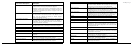
The Map Page
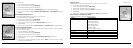
Data Layering menu options
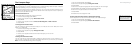
Map Setup menu options
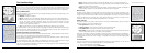
Tip: PressQUITtodeletethe
last measurement point. To
delete the entire measurement
object, press QUIT until all
measurement points are de-
leted from the map.
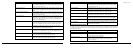
Measuring distance on the map