


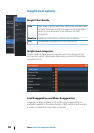
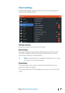

Insight view options
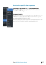
Insight Chart details
Low Basic level of information that cannot be removed, and
includes information that is required in all geographic
areas. It is not intended to be sufficient for safe
navigation
Medium Minimum information sufficient for navigation
Full All available information for the chart in use
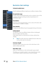
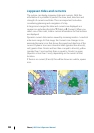
Insight chart categories
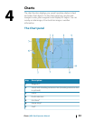
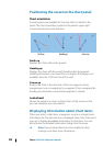
Insight charts include several categories and sub-categories that
you can turn on/off individually depending on which information
you want to see.
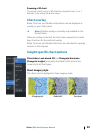
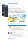
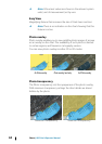
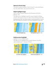
Land Exaggeration and Water Exaggeration
Graphical settings available in 3D mode only. Exaggeration is a
multiplier applied to the drawn height of hills on land, and troughs
in water to make them look taller or deeper.
40
Charts | HDS Gen3 Operator Manual