


61
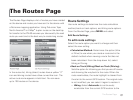
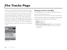
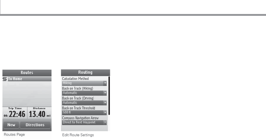
The Routes Page displays a list of routes you have created
on the device and routes you have sent to the device with
a DeLorme mapping application. Using DeLorme Topo
North America™ or XMap
®
to plan routes on the desktop
for transfer to the PN-60 ensures you take exactly the road
route you want and is the best way to create long routes.
In the routes list, hiking (direct) routes have a yellow “Z”
icon and driving routes have a blue curved line icon. The
active route name appears in bold text. You can save
up to 100 routes on the device.
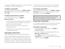
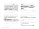
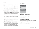
Route Settings
Use route settings to determine the route calculation
method, back on track options, and hiking route options.
From the Routes Page, press MENU and select
Edit Route Settings.
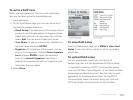
To edit route settings
Select the route option you want to change and then
select the new setting.
Calculation Method–Determines the option (Hike
or Drive) to use when you create a route and is the
default method when viewing a route that has not
been calculated. From the drop-down list, select
Hiking or Driving.
Back on Track (Hiking)/Back on Track (Driving)–
Sets the option for informing you that you are off course
and showing the way back to the route. When the
route recalculates, the route highlight is cleared from
the start to the current GPS location. The original route
is not modi ed; you can select it again to restore it.
» Hiking–Select Automatic to continuously
recalculate from the current GPS location to the
The Routes Page
The Routes Page