


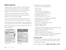
24
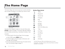
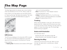
The Map Page
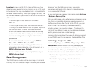
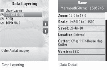
Data Layering
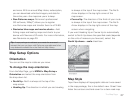
The base map that is pre-loaded on the PN-60 shows
high-level world coverage, as well as more detailed
coverage for North America. You can add maps, data,
imagery, draw les, and more to your device to
supplement the base map. When you add different
types of maps to the same area, you can customize
the order in which the layers appear.
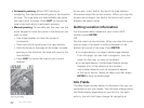
For more information about the types of data you can
add to your PN-60, see Detailed Map Data on page 26.
To manage individual map packages that you have added
to your device, see the next section—Data Management.
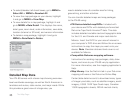
Only the data types you have on your device show in the
Data Layering list.
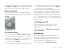
The default order for layering data is:
GIS layers by name (XMap
®
only)
Draw Layers
Public Lands
User Raster Data (XMap only)
Custom Raster Data (XMap only)
ImageReg (XMap only)
DigitalGlobe
®
30cm (DG 30cm)
High-resolution City Imagery (Hi-Res Cities)
DigitalGlobe
®
60cm (DG 60cm)
DigitalGlobe
®
1m (DG 1m)
Color Aerial Imagery (Color DOQQ)
Aerial Imagery (DOQQ)
USGS Quads (3DTQ)
Canadian 1:50K Topographic Sheets (Canadian 1:50K)
NOAA Nautical Charts (NOAA Charts)
Satellite Imagery (SAT10)
XMap Topographic Data (XMap only)
DeLorme Topographic Data (Topo North America 9.0)
DeLorme World Base Map 7 (XMap only)
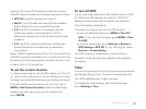
To layer data
Use the Data Layering option to select the types of data
you want to view on your PN-60 and the order in which
you want data to display.
From the Map Page, go to MENU > Map Setup > Data