


27
and more. With an annual Map Library subscription,
you can download unlimited imagery and data for
the entire year—the maps are yours to keep.
Non-DeLorme maps–DeLorme’s professional
GIS software, XMap
®
, allows you to register
non-DeLorme maps and transfer them to a PN-60.
Navionics lake maps and marine charts—Add
shing maps and boating maps and charts to your
device with Navionics SD cards. For more information,
see Navionics on page 29.
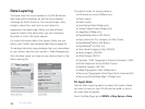
Tip A map package is a dataset you create for an area of
interest that you can layer with DeLorme map data and other
map datasets available from the NetLink Map Library.
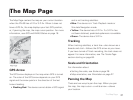
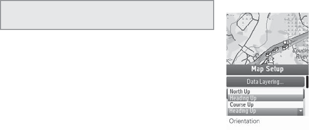
Map Setup Options
Orientation
You can set the map to rotate as you move.
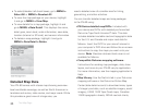
To change the map orientation
From the Map Page, go to MENU > Map Setup >
Orientation and select the map orientation from
the drop-down list.
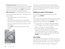
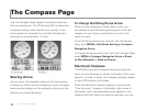
North Up–North is always at the top of the
map screen.
Heading Up–The direction in which you are traveling
is always at the top of the map screen. The North
Arrow displays in the top right corner of the
map screen.
Course Up–The direction of the nish of your route
is always at the top of the map screen. The North
Arrow displays in the top right corner of the map
screen when navigating.
If you want Heading Up or Course Up to automatically
switch to North Up above the speci ed scale (depends
on the units of measure you have set), select the
North Up above... scale check box.
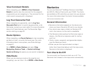
Map Style
Topo View displays all topographic data as it was saved
in the map package; this is the default view. Street View
hides the contours and land cover for a clean road map
The Map Page