


23
tracking (regular GPS use). To access the Info Fields options,
go to MENU > Info Fields. For more information, see Info
Fields on page 11 and The Activities Page on page 17.
Measure Distance
Use the measurement tool to measure the distance of
a line or the perimeter and area of a polygon on the map.
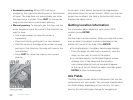
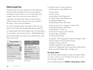
To measure distance
From the Map Page, go to MENU > Measure Distance.
Use the arrow keypad to move the cursor to the area on
the map where you want to place the rst point of the line
or polygon and press ENTER. Repeat for each point.
To undo a point, press QUIT.
To make a polygon, you must close the shape. Place
the last point on top of the rst point by hovering the
cursor over the start location and pressing ENTER to
snap the point and close the polygon.
While you are measuring distance, the pan location infor-
mation that displays in the top right corner of the screen
changes to display the heading from the last measure-
ment node to your current GPS location, the leg distance,
and the total distance from the last measurement node to
the rst measurement node. Once you close a polygon, it
displays the area.
Turn Imagery On/Off
When you have added map packages that include
imagery to your PN-60, you can quickly turn the
imagery off or on.
From the Map Page, go to MENU > Turn Imagery On
or Turn Imagery Off.
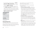
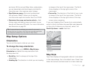
Map Setup
Use the Map Setup page to customize the map. You
can change the order of data layers; show or hide maps
and imagery; choose map orientation and scale; and
determine how information displays on the map.
From the Map Page, go to MENU > Map Setup.
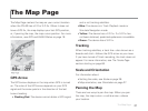
The Map Page