


58
Reference
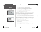
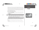
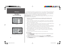
Main Menu:
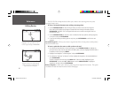
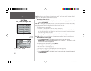
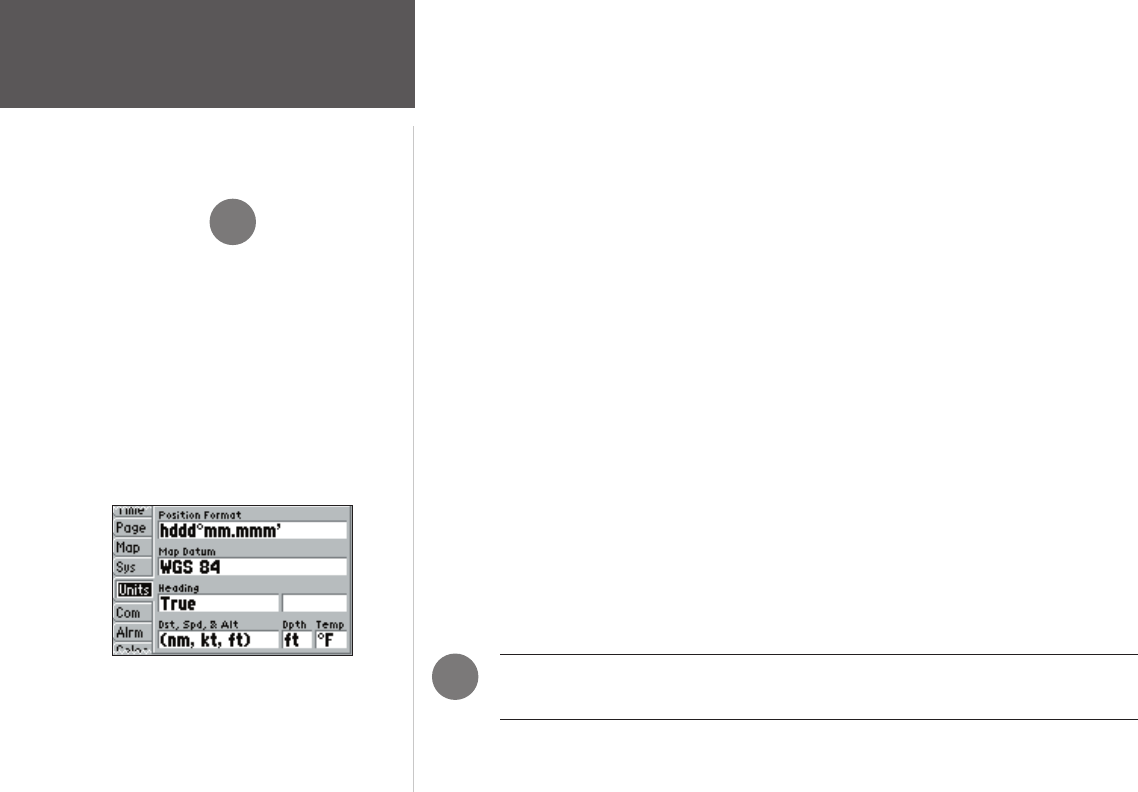
Units Tab
Units Tab — Defi nes Position Format, Map Datum, Heading, Distance, Speed, Altitude, Depth and
Temperature.
The following settings are available:
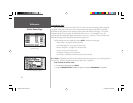
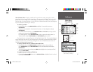
• Position Format — Used to change the coordinate system in which a given position reading is
displayed. You should only change the position format if you are using a map or chart that specifi es a
different position format or wish to use a format you are familiar with. The default format is latitude
and longitude in degrees, minutes, and thousandths of a minute (hddd°mm.mmm’). The following
additional formats are also available:
• hddd.ddddd° — latitude/longitude in decimal degrees only
• hddd°mm’ss.s” — latitude/longitude in degrees, minutes, seconds
• UTM/UPS — Universal Transverse Mercator / Universal Polar Stereographic grids
• British Grid • Dutch Grid • Finnish KKJ27 • German Grid
• India Zone O • India Zone IA • India Zone IB • India Zone IIA
• India Zone IIB • India Zone IIIA • India Zone IIIB • India Zone IVA
• India Zone IVB • Irish Grid • Maidenhead • MGRS
• New Zealand • Qatar Grid • RT 90 • Swedish Grid
• Swiss Grid • Taiwan Grid • Loran TD (see pages 70-71 for Loran TD setup)
• User Grid • W Malayan RSO
• Map Datum — Allows you to select the datum reference used to determine a given position. The
default setting is ‘WGS 84’. Datums are used to describe geographic positions for surveying, mapping,
and navigation and are not actual maps built in the unit. Although over 100 datums are available
(as listed on pages 75-76), you should only change the datum if you are using a map or chart that
specifi es a different datum.
WARNING: Selecting the wrong map datum can result in substantial position errors.
When in doubt, use the default WGS 84 datum for best overall performance.
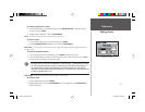
,
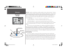
The Units tab settings will affect how navigation
information is displayed on the GPS 152. When in doubt,
seek assistance.
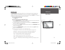
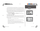
If you are using a map or chart in conjunction with your
GPS, make sure the settings under the ‘Units’ tab of the
GPS 152 match that of the map or chart. This information
should be displayed somewhere on the map or chart. If the
information is not present, contact the map or chart maker
to determine what position format, datum, heading and
units of measure are being used for the map or chart.
,
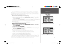
Units Tab
152 Manual Part 2.indd 58 11/27/2002, 2:56:35 PM