


25
Reference
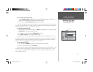
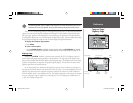
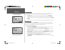
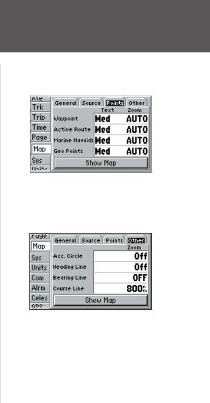
Map Page Options
Following are details on each of the settings in the Map setup fi le tabs:
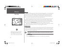
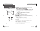
General Tab
Detail — Most, More, Normal, Less, Least: controls how much map detail you will see. This setting
only applies to any map feature set to “Auto.” Those features which have a specifi ed scale or are
turned “Off” are unaffected by this setting.
Orientation — North Up: fi xes the top of the map display to a north heading; Track Up: fi xes the
top of the map display to the current track heading; Course Up: fi xes the map so the direction of
navigation is always “up” and turns the navigation leg line vertical on the screen.
AutoZoom — On/Off: when “On” the map will automatically adjust the map scale to a lower scale
as you approach you destination point.
Source Tab
Data — On/Off: turns the loaded map data on or off.
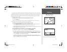
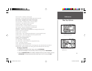
Points Tab — Waypoints, Active Route, Marine Navaids, and Geo Points
Text — None, Small, Medium, and Large: controls the screen size of the name.
Zoom — Auto, Off, 120 ft.-800 mi.: sets the maximum scale at which the feature should appear on
the screen. Some types of data will only show up to certain zoom scales.
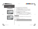
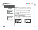
Other Tab
Accuracy Circle — On/Off: toggles the circle “On” or “Off.” The circle represents the approximate
accuracy of the unit based on EPE and DOP. Your position will be within the circle.
Heading Line — On/Off: turns the Heading Line “On” or “Off. The Heading Line projects from the
triangle (boat icon) showing your current heading.
Bearing Line — Auto, Off, 120 ft.-800 mi.: sets the scale at which the Bearing Line will appear on the
screen. The Bearing Line shows the bearing from your current location to a destination waypoint.
Course Line — Auto, Off, 120 ft.-800 mi.: sets the scale at which the Course Line will appear on
the screen. The Course Line shows a direct navigation line from the point navigation was initiated
to a destination waypoint.
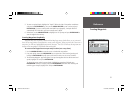
Other Tab
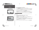
Points Tab
152 Manual Part 1.indd 25 11/27/2002, 2:55:54 PM