


Chapter 3: Standard Chart Operations 3-7
Displaying Chart
Object and Source
Information
Nearest
You can obtain information for the eight nearest waypoints, port services,
ports, tide stations, wrecks or obstructions for a selected position. The
chartplotter also provides options to redraw the chart with a selected item at
the centre, Goto a waypoint and display a list of all the port on the chart card.
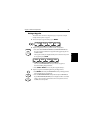
➤ To obtain the information for the nearest objects:
1. Move the cursor to the required position then press ENTER to display the
object information pop-up.
2. Press the NEAREST soft key. The Find Nearest pop-up list is displayed.
Use the trackpad to highlight the required object, then press ENTER.
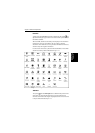
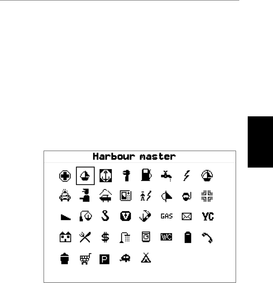
i. For port services the port service symbols are displayed, use the track-
pad to highlight the required service, then press ENTER.
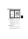
If you select a port then press ENTER, detailed information for the ser-
vice at that port is displayed. Typical port data is shown in Figure 3-4.
Figure 3-4: Nearest Port - Typical Data
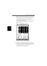
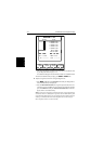
ii. For all other items, theeight nearest objects are listed with distance and
bearing.
Soft keys provide you with options toEXPAND port, wreck and obstruc-
tions data; view a FULL LIST of ports detailed on the chart card; SHOW
TIDE data; GOTO a waypoint and FIND the object (redraw the chart with
the object at the centre). Use the trackpad to highlight an object, then
press the required soft key.
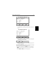
3. To return to the default display, press CLEAR to back-track through the
pop-up lists.
D4255_1