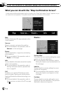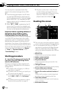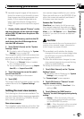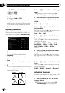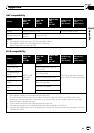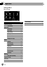
[Night]:
Always displays the map in the color de-
fined on “Night color profile:”.
[Day]:
Always displays the map in the color de-
fined on “Daylight color profile:”.
! “Elevation on 2D Map”
You can select whether to draws or refrain
from drawing the terrain with a realistic
landscape on the map, such as a green
space, water place, undulating surface.
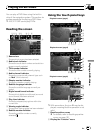
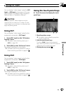
! “Show Street Labels”
Shows or hides street names and city
names.
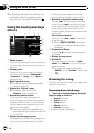
! “Full Screen Map”
Shows/hides the “Multi-Info window” and
“Second maneuver arrow”.
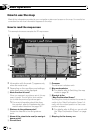
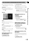
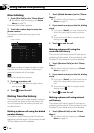
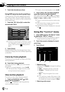
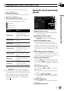
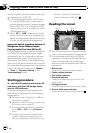
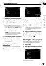
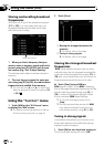
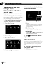
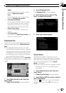
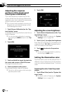
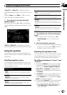
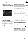
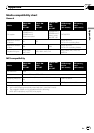
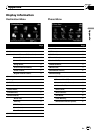
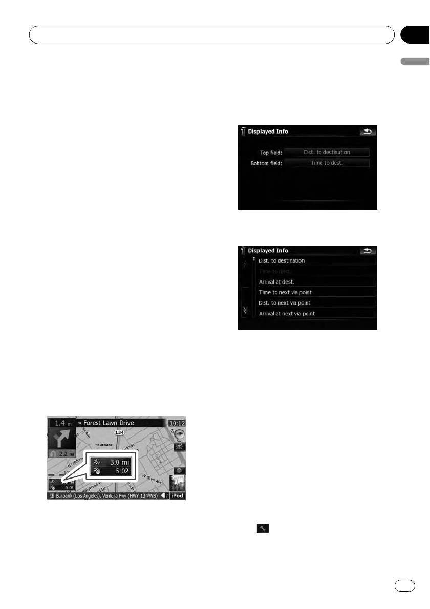
Displayed Info
Allows you to select what options you want to
display on each part of the “Multi-Info win-
dow”.
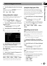
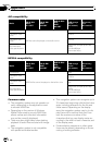
p The estimated time of arrival is an ideal
value that the navigation system computes
internally as the route is calculated. The es-
timated time of arrival should be read just
as a reference value, and does not guaran-
tee arrival at the time indicated.
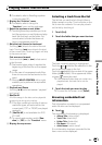
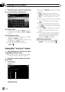
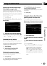
A method for changing the value of Top field:
is described here along with an operational ex-
ample.
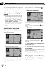
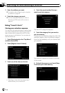
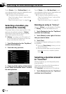
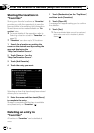
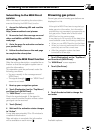
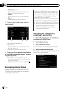
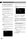
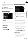
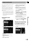
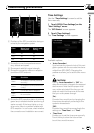
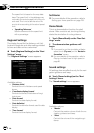
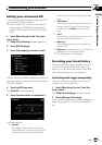
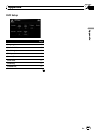
1 Touch [Map Visual] on the “Navi Set-
tings” menu.
The “Map Visual Settings” screen appears.
2 Touch [Displayed Info].
The “Displayed Info” screen appears.
3 Touch the key on the right of “Top
field:” to display the options.
4 Touch your desired option.
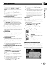
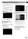
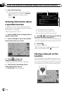
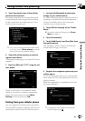
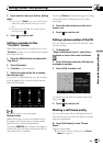
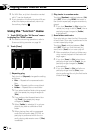
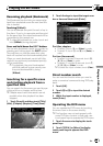
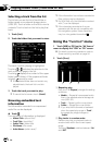
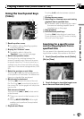
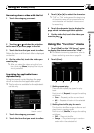
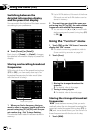
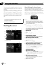
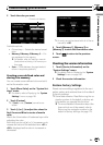
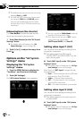
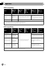
Smart Zoom
Enables the navigation system to zoom in
automatically when you approach a guidance
point and zoom out after you pass through it.
You can setup the behavior while “Smart
Zoom” is activated.
p When no route is set, the navigation system
will simply zoom in or out depending on
your speed.
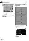
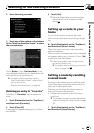
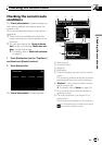
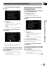
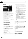
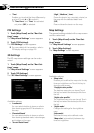
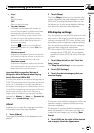
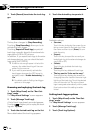
1 Touch [Map Visual] on the “Navi Set-
tings” menu.
The “Map Visual Settings” screen appears.
2 Touch [On] or [Off] to activate or deacti-
vate “Smart Zoom”.
Touching
allows you to enter the detailed
setting screen only when [On] has been se-
lected.
Customizing preferences
En
147
Chapter
25
Customizing preferences