


Page 5-4 500 SERIES INSTALLATION MANUAL
Rev G P/N 190-00181-02
CHANNEL OUTPUTS
Selection Description
Off
No unit(s) connected to output of this channel.
Aviation
Serial position, altitude, velocity, and navigation data to the following units:
Garmin GPSMAP 295, GPSMAP 195 or GPS III Pilot
Argus 3000, 5000, or 7000 Moving Map
Electronics International FP-5L Fuel Flow Computer (non-TSO’d)
JP Instruments EDM-700 or EDM-760 Engine Monitor
Shadin 91204XM Digital Fuel Management System
Shadin 91053XM Digital Fuel Management System
Shadin 9628XX-X Fuel/Air Data Computer
Stormscope Series II (with Navaid) Moving Map
Garmin GDL 49 Satellite data link transceiver
Garmin GTX 327 Transponder
Avtn no alt
Serial position, velocity, and navigation data to the following units:
Horizon DDMP
Crossfill
Serial transfer of flight plans and user waypoints between two 500 Series
units
HW EGPWS
Serial communication to a Bendix/King (Honeywell) KGP 560 EGPWS.
Ryan TCAD
Serial communication with a Ryan TCAD 9900B Series system.
WX-500
Serial communication to a BF Goodrich WX-500 Stormscope.
FUEL TYPE
Selection Description
AV gas
The aircraft is using Aviation gas (5.8 lbs./gal.)
Jet A
The aircraft is using Jet A or Jet A-1 fuel (6.7 lbs./gal.)
Jet B
The aircraft is using Jet B (JP-4) fuel (6.5 lbs./gal.)
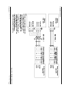
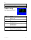
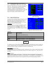
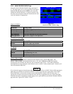
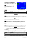
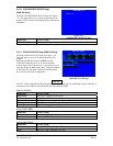
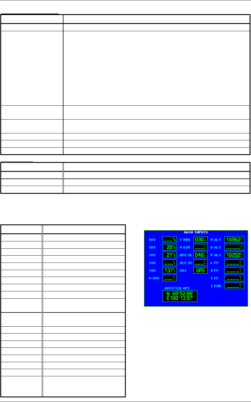
5.2.3 MAIN INPUTS Page
Select the MAIN INPUTS Page (see Figure 5-3). This page allows you to monitor the data on ARINC
429, RS-232 and other electrical inputs. This is used for verifying electrical interfaces during installation
and troubleshooting. Information that is not being received by the 500 Series unit is dashed out.
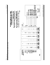
Field Description
OAT
Outside Air Temperature
SAT
Static Air Temperature
TAT
Total Air Temperature
IAS
Indicated Airspeed
TAS
True Airspeed
W SPD
Wind Speed
T HDG
True Heading
W DIR
Wind Direction
GPS SC
GPS Selected Course
VLC SC
VOR/LOC Selected Course
(GNS 530 Only)
CDI
Status of the CDI key
(GNS 530 Only).
B ALT
Barometric-corrected Altitude
D ALT
Density Altitude
P ALT
Pressure Altitude
L FF
Left Engine Fuel Flow
R FF
Right Engine Fuel Flow
T FF
Total Fuel Flow
T FOB
Total Fuel on Board
JOYSTICK
WPT
Latitude and longitude of a
joystick waypoint sent by an
EFIS or RADAR indicator.
Figure 5-3. MAIN INPUTS Page