


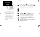
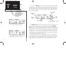
NAVCOM Page
The CDI page with active destination.
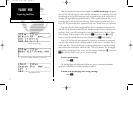
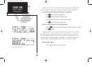
After the GNC 300 acquires satellites and computes a position, the position page will appear
automatically, and you’ll be informed with a ‘Ready for navigation’ message on the message page.
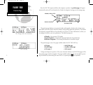
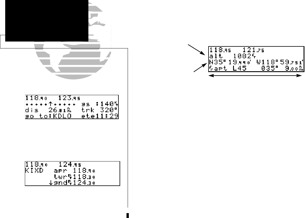
The position page displays your present latitude and longitude, altitude and a reference way-
point field; and is also used to enter the altimeter setting during approach operations. The altitude
and reference waypoint fields are also selectable (see Section 1 for more information) to allow you
to configure the unit to your own preferences. The default settings are:
• Altitude— Your present GPS altitude
• Present Position— Latitude and longitude displayed in degrees/minutes
• Reference Waypoint— The bearing and distance to the nearest airport
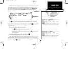
The position page is one of six pages available under the GNC 300’s NAV key:
• CDI page • NAVCOM page
• Position page • Satellite status page
• NAV menu 1 • NAV menu 2
During most flights, the position, CDI (course deviation indicator) and NAVCOM pages will be
the primary pages used for navigation. The pages available under each key are accessible by press-
ing the desired key and rotating the outer knob, or by pressing the
N
key repeatedly.
4
TAKEOFF TOUR
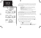
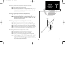
Position Page
Altitude, MSA or ESA
Position (lat/lon)
Proximity Field
300 7/14/98 8:49 AM Page 4