


3-23190-00601-02 Rev. B
Garmin G600 Pilot’s Guide
Foreword
Sec 1
System
Sec 2
PFD
Sec 3
MFD
Sec 4
Hazard
Avoidance
Sec 5
Additional
Features
Sec 6
Annun.
& Alerts
Sec 7
Symbols
Sec 8
Glossary Appendix A
Appendix B
Index
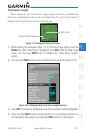
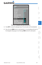
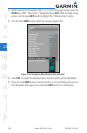
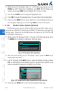
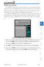
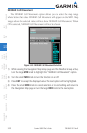
3) Press ENT
to accept the displayed value. The next option will be highlighted.
4) Press the small MFD knob to cancel selection or to end editing and return to
the Navigation Map page or turn the large MFD knob to the next option.
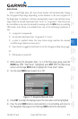
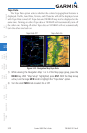
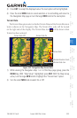
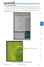
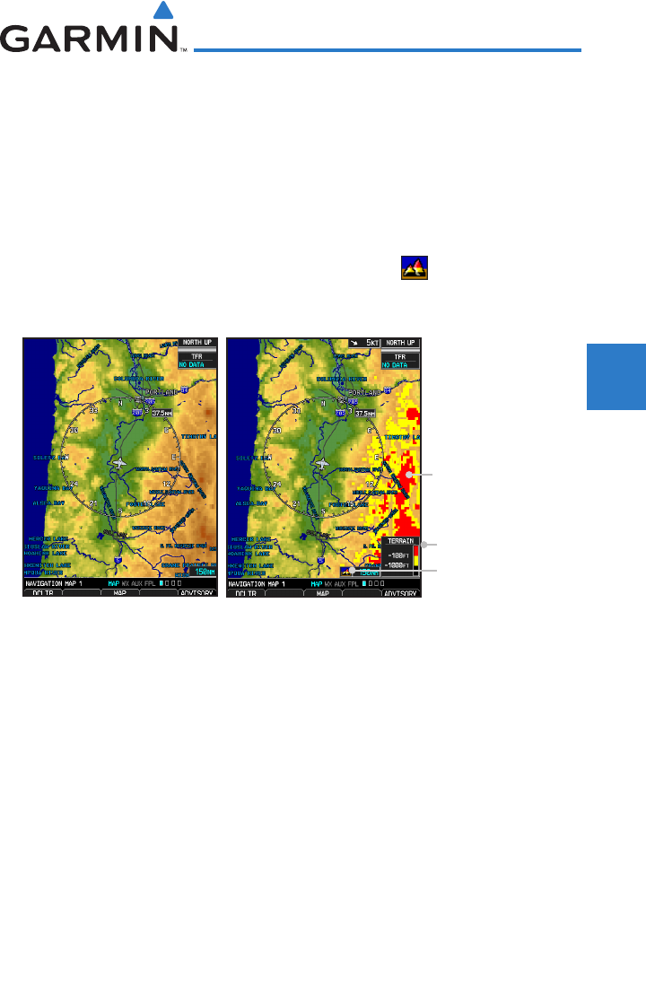
Terrain Data
The Terrain Data option selects whether Terrain Data and the Terrain Elevation
Scale is shown on the Navigation Map. The Terrain Data scale will be located
on the right side of the display. The Terrain Data Icon will be shown when
Terrain has been selected.
Terrain Data Off
Terrain Data On
Terrain Data
Terrain Data Icon
Terrain Elevation Scale
Figure 3-29 Navigation Map Terrain Data
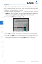
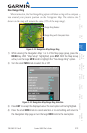
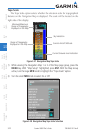
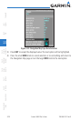
1) While viewing the Navigation Map 1 or 2 of the Map page group, press the
MENU key. With “Map Setup” highlighted, press ENT. With the Map Group
active, turn the large MFD knob to highlight the “Terrain Data” option.
2) Turn the small MFD knob to select On or Off.