


3-65190-00601-02 Rev. B
Garmin G600 Pilot’s Guide
Foreword
Sec 1
System
Sec 2
PFD
Sec 3
MFD
Sec 4
Hazard
Avoidance
Sec 5
Additional
Features
Sec 6
Annun.
& Alerts
Sec 7
Symbols
Sec 8
Glossary Appendix A
Appendix B
Index
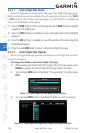
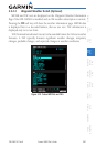
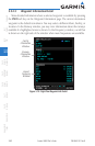
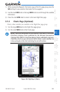
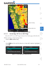
1) While viewing the Waypoint Information page of the FPL page group, press the
WX soft key to view weather information for the waypoint.
2) Use the small MFD knob or the large MFD knob to scroll through the available
information.
3) Press the small MFD knob to return to the main Flight Plan page.
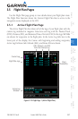
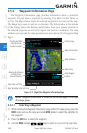
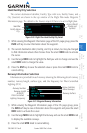
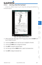
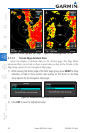
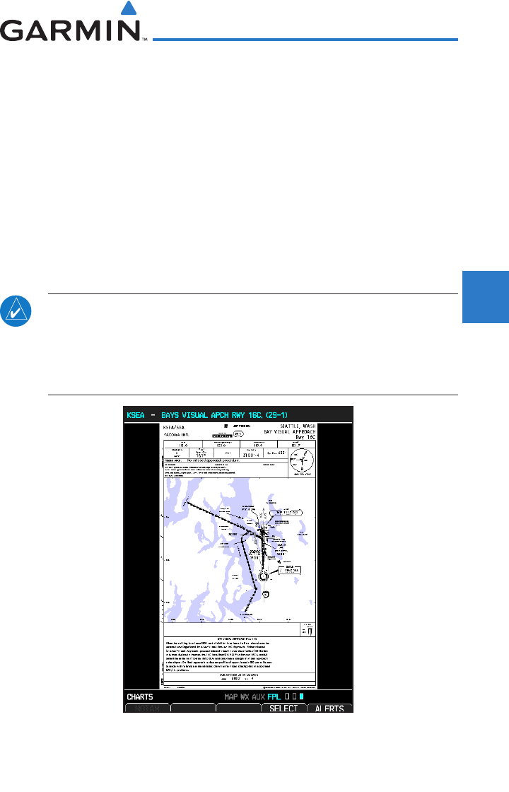
3.5.3 Charts Page (Optional)
Charts, when installed, are available in the Flight Plan page group.
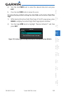
1) Turn the large MFD knob to the Flight Plan page group.
2) Turn the small MFD knob to the Charts page.
NOTE: There are two options for chart services: FliteCharts or ChartView.
FliteCharts displays charts published by the National Aeronautical
Charting Office (NACO). ChartView displays charts published by Jeppesen.
ChartView charts are geo-referenced, which allows a pink ownship icon
to be overlayed on the chart indicating the aircraft location.
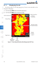
Figure 3-84 Flight Page 3 (Charts)