


3-20
Garmin G600 Pilot’s Guide
190-00601-02 Rev. B
Foreword
Sec 1
System
Sec 2
PFD
Sec 3
MFD
Sec 4
Hazard
Avoidance
Sec 5
Additional
Features
Sec 6
Annun.
& Alerts
Sec 7
Symbols
Sec 8
GlossaryAppendix A
Appendix B
Index
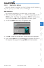
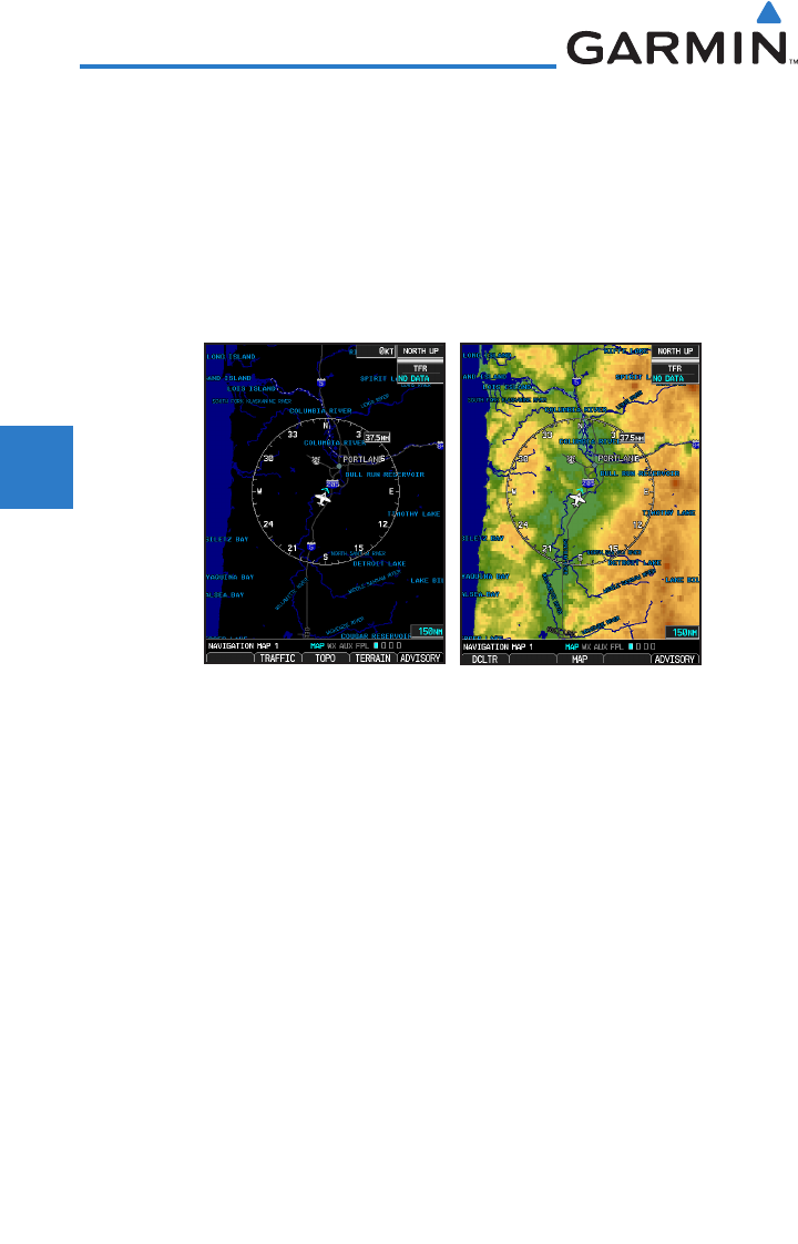
Topo Data
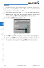
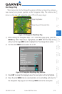
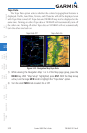
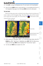
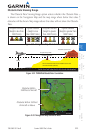
The Topo Data option selects whether the colored topographical features is
displayed. Traffic, Land Data, Terrain, and Obstacles will still be displayed even
with Topo Data turned off. Topo data and NEXRAD may not be displayed at the
same time. Turning on either Topo data or NEXRAD will automatically turn off
the other one. Turning off either Topo data or NEXRAD will not automatically
turn the other one back on.
Topo Data Off Topo Data On
Figure 3-25 Navigation Map Topo Data
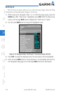
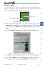
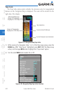
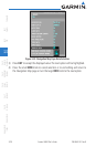
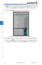
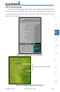
1) While viewing the Navigation Map 1 or 2 of the Map page group, press the
MENU key. With “Map Setup” highlighted, press ENT. With the Map Group
active, turn the large MFD knob to highlight the “Topo Data” option.
2) Turn the small MFD knob to select On or Off.