


N
A
V
I
122
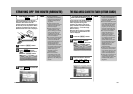
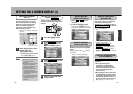
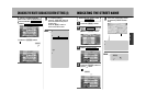
INDICATING THE STREET NAME
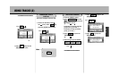
Press the Ñ button
to show the present location
map.
5
¡If street names cannot be indicated, names
of the surrounding area appear.
¡Should the name of the street now being
driven on not be displayed due to a GPS
satellite signal error, the name of another
street nearby may appear.
Street names (or names
of the surrounding area)
Press the Ä button to
place a mark.
... Indicates that this condition is
set. To change, press the
Ä button again to
delete the mark.
4
Press the É button.
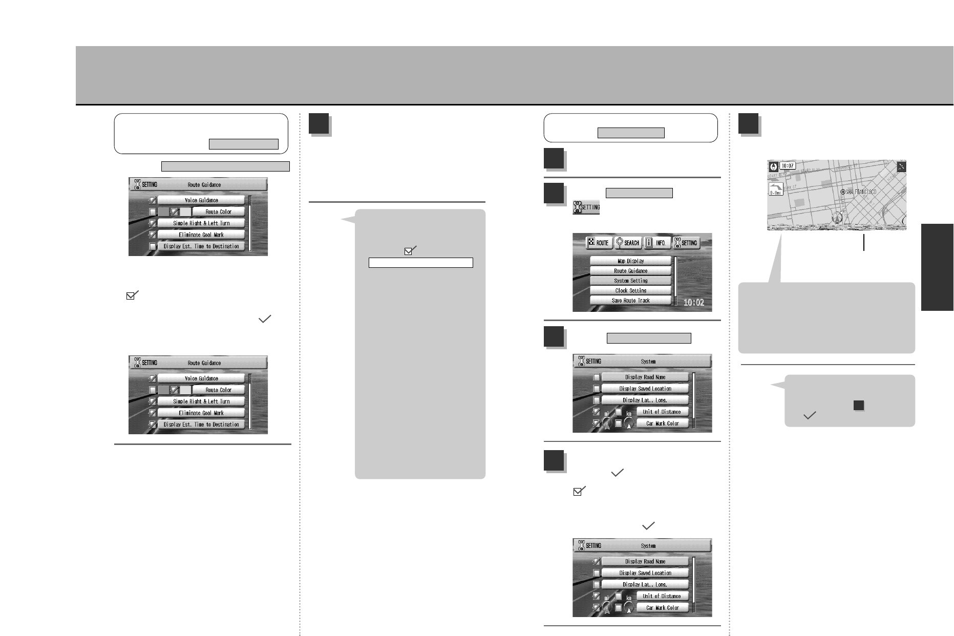
1
Select from the
drop-down menu and
press the Ä button.
System Setting
2
Select .
Display Road Name
3
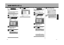
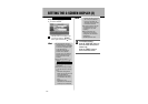
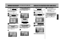
INDICATING THE STREET NAME
System Setting
To disable the indication, press
the Ä button again as
described in step to remove
the mark.
Hint
4
121
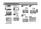
To complete setting…
press the Ñ button to
return the screen to the present
location map.
Press the É button to
return to the menu screen.
4
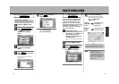
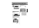
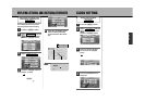
w Press the Ä button.
... Indicates that this condition is set.
To change, press the Ä
button again to delete the
mark.
Example of setting “enable”.
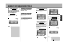
q Select
.
Dsplay Est. Time To Destination
¡Highways appear red even if
having selected purple/green
for the route color setting.
¡Placing a mark for
will enable a display indicating
the distance remaining until
the next guide point as well as
a turning indication.
(The distance indicated is a
reference guide and may differ
from the actual distance).
zSee p.57, “How to view
the map screen”.
¡Estimated time to destination
The unit indicates an
estimated time to destination
based on a speed of 50mph
for highways, 30mph for
national/state roads, 25mph
for local roads and 10mph for
other roads. This function
does not correspond to the
vehicle’s actual speed.
Simple Right & Left Turn
Hint
SELECT TO ENABLE/DISABLE
DSPLAY EST. TIME TO DESTINATION
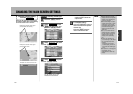
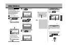
ROUTE GUIDANCE
Route Guidance
CHANGING THE ROUTE GUIDANCE SCREEN SETTINGS (3)