


Page 88
How Do I Use It?
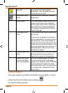
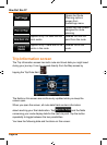
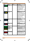
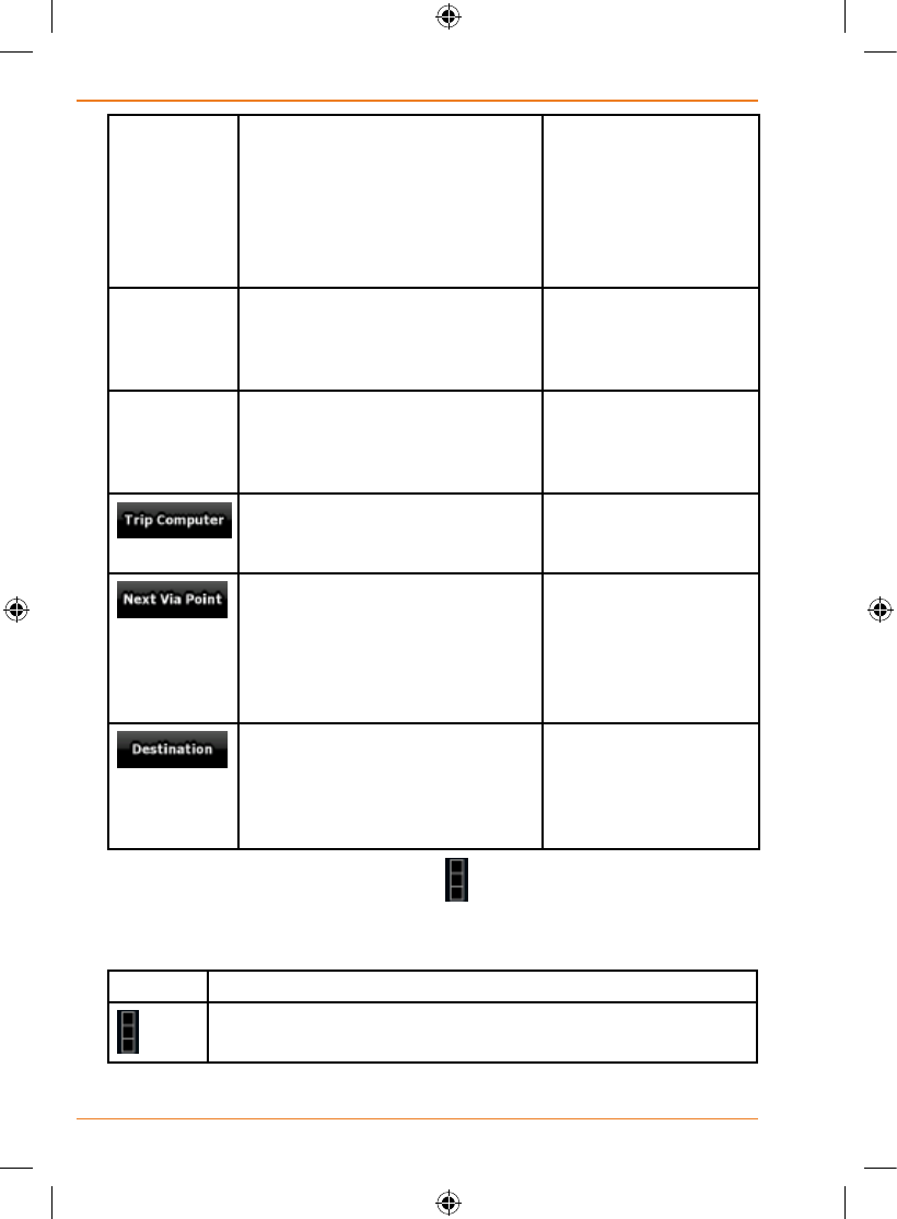
GPS Time Shows the current time
corrected with time zone offset.
The accurate time comes from
the GPS satellites, and the time
zone information comes from the
map or it can be set manually in
Regional settings.
Tapthiseldtoshow
it on the map screen
in one of the Trip Data
elds.
Altitude Shows the elevation if it is
provided by the GPS receiver.
Tapthiseldtoshow
it on the map screen
in one of the Trip Data
elds.
Speed Limit Shows the speed limit of the
current street if the map contains
it.
Tapthiseldtoshow
it on the map screen
in one of the Trip Data
elds.
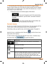
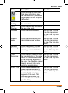
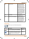
Opens a new screen
with three resettable
Trip Computers.
Tap this button to
change the content of
theRouteDataelds
to show information
about the next via
point.
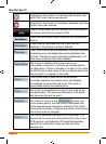
If you tap the previous button,
this one replaces it.
Tap this button and
theRouteDataelds
show information
aboutthenal
destination again.
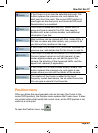
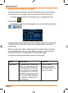
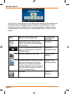
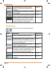
Mostoftheeldsonthisscreenhavea
symbol next to them. This symbol
showswhethertheelditisattachedtoisshownonthemapasaTripData.
It also shows the position of the data as follows:
Symbol Description
This value is not shown on the map screen.