


Page 78
How Do I Use It?
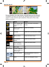
Objects on the map
Streets and roads
TRAX436 shows the streets in a way that is similar to how the paper road
maps show them. Their width and colours correspond to their importance:
you can easily tell a motorway from a small street.
If you prefer not to see street names during navigation,
turn them off (page 103).
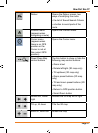
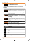
3D object types
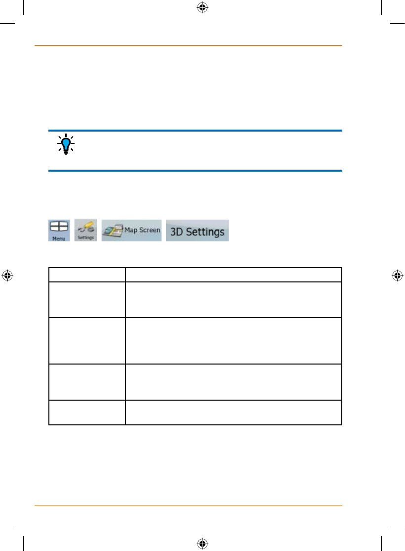
To enable or disable 3D visualisation on the map, tap the following buttons:
, , , .
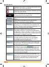
TRAX436 supports the following 3D object types:
Icon Description
Elevated roads Complex intersections and vertically isolated roads
(such as overpasses or underground tunnels) are
displayed in 3D.
Terrain Detail
Level
3D terrain map data shows changes in terrain,
elevations or depressions in the land when you view
the map, and use it to plot the route map in 3D when
you navigate.
Landmarks Landmarks are 3D artistic or block representations of
prominent or well-known objects. 3D landmarks are
only available in selected cities and countries.
Building Visibility Feature unavailable. (This switch is presented for
future expansion and currently performs no action)
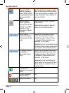
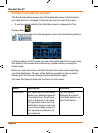
Elements of the active route
TRAX436 shows the route in the following way:
TIP