


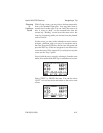
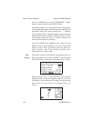
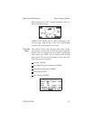
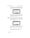

When airspaces are “ON,” airspace boundaries show on
the moving map screens.
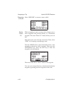
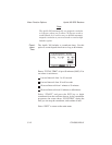
“ORIENT UP” allows you to select orientation of the
moving maps, with the top of the screen representing
current track, desired track, or true north.
Declutter
Maps
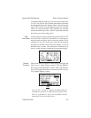
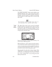
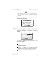
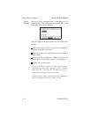
This option controls the waypoints that show on the
moving map screens and are used for nearest waypoint
search. Types of waypoints you set to “ON” are displayed
while those set to “OFF,” are not visible on the moving
map screens. You can choose whether or not to show the
following types of waypoints:
Airports (ARPTS)
Very High Frequency Omnirange (VORS)
Non-Directional Beacon (NDBS)
Intersections (INTS)
User Created (USERS)
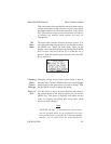
Apollo 360 GPS Receiver Menu Function Options
P/N 560-0123-01 5-7