


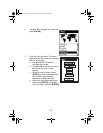
60
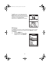
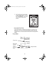
Map Datum
You can set the datum used to compute the coordinates to match the
datum used on a map or chart. If you are using a map or chart with
your MYSTIC and the datums do not match, you may find
irregularities when comparing the coordinates. The default for the
primary screen is WGS84, and secondary position screen is NAD27.
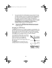
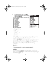
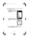
Elev Mode
You can select the elevation mode used by the MYSTIC. You can
choose between 3D (uses satellite information to compute elevation)
or 2D (displays a fixed elevation based upon the elevation entered).
The default is 3D.
Time Format
You can choose from three different time formats: Local 24 Hr (military
time), Local AM/PM or UTC. If you select Local 24 Hr or Local AM/PM,
you will be prompted to enter your local time. The default is UTC.
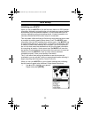
NAV Units
You can select the units of measure that MYSTIC will use: Miles/
Yards/MPH, Miles/Feet/MPH, Nautical Miles/Feet/Knots or
Kilometers/Kilometers per hour. The default is Miles/Feet/MPH.
North Reference
You can select whether the MYSTIC uses True North, Magnetic North,
Mils (Military) True or Mils (Military) Magnetic as the North reference.
The default is Magnetic North.
Mystic OM.book Page 60 Wednesday, October 22, 2003 8:59 PM