3-22 Raychart 320 Chartplotter
Selecting a Waypoint
Selecting a waypoint from the Waypoint List allows you to GOTO and
EDIT (symbol, name, position, erase) the waypoint. The Waypoint List
also provides options to make a new waypoint and transfer waypoints.
Positioning the cursor over a waypoint selects that waypoint and accesses
the waypoint soft keys. These keys enable you to go to (described in
Following Routes and Going to Waypoints on page 3-37), edit (symbol,
name, position), erase or move the waypoint.
➤ To select a waypoint using the Waypoint List:
1. Press
MARK, followed by the WAYPOINT LIST soft key.
The Waypoint List and associated soft keys are displayed, see
Figure 3-22.
2. Use the trackpad to move the selection bar through the list to highlight
the required waypoint.
The selected waypoint can be edited via the displayed soft keys.
➤ To select a waypoint using the cursor:
1. Move the cursor over the waypoint, until the letters
WPT are dis-
played.
The Waypoint Data box (see Waypoint Data Display below) and the
soft keys are displayed as shown in Figure 3-27:
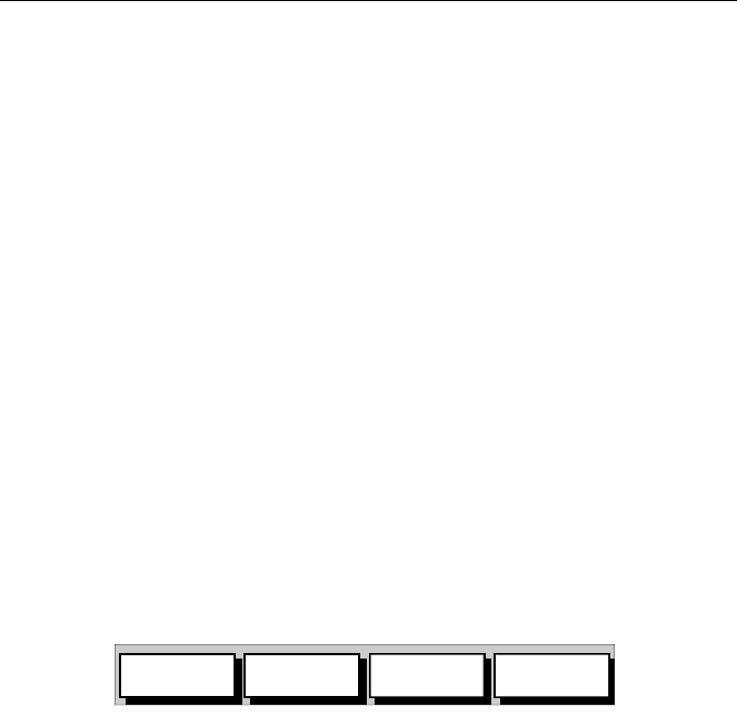
Figure 3-27: Waypoint Soft Keys
The selected waypoint can be edited via these soft keys.
Waypoint Data Display
In chartplotter mode, waypoint data can be viewed in two ways; either
using the context-sensitive cursor to select the waypoint and display the
pop-up Waypoint Data Box, or by viewing waypoint details from the
Waypoint List.
➤ To display the waypoint details from the Waypoint List:
1. Select the waypoint from the Waypoint List as described in Selecting
a Waypoint on page 3-22.
The details for the selected waypoint are displayed. Temperature,
depth, date and time are included (if available) for waypoints placed
at the vessel’s position.
2. To remove the Waypoint List and return to the default soft key dis-
play, press
CLEAR twice.
GOTO
WAYPOINT
EDIT
WAYPOINT
ERASE
WAYPOINT
MOVE
WAYPOINT
D4959_1
81167_3.BOOK Page 22 Wednesday, November 21, 2001 2:12 PM


