Reference
11
Map Page Options
Like each of the main pages, the Map page is menu driven. With the Map page displayed, pressing
the remote or unit MENU key displays an options menu, allowing you to customize the page to your
preferences and/or select special features that specifi cally relate to the Map page. (See page 5 for how to
select menu icons.) The following options are available : ‘Use Indoors’, ‘Measure Distance’, ‘Map Setup’,‘ Tab
Setup’ or ‘ Hide/Show Tabs’, ‘ Route’, ‘ Options’, ‘ Info’, and ‘ Display’.
Use Indoors (or) Use Outdoors — The ‘Use Indoors’ option stops satellite reception, conserves
power usage, speeds Map page drawing, and is used for practicing with the unit. The ‘Use Outdoors’ option
receives satellites for real-time navigation.
Measure Distance — Allows you to measure the distance between any two points you choose on the
Map page. Also displays the latitude and longitude of the pointer.
To measure the distance between two points:
1. From the Map page, press either the unit or remote MENU key.
2. Select ‘Measure Distance’. An on-screen pointer appears on the map display at your current location. The
top of the screen displays
3. Move the panning arrow with the THUMB STICK to or TOUCH the desired reference point (the point
you want to measure from) and select the check mark in the upper right corner. A data window appears
at the top with the distance, bearing and coordinates.
4. Move the panning arrow to the second point, to which you want to measure. The direction and distance
from the reference point is shown on the top of the Map page.
5. Press the QUIT key, TOUCH the ‘Back’ arrow or select ‘Stop Measuring’ on the menu to return to the
regular Map page display.
Map Setup — Allows you to confi gure the map display to your preferences, including map detail, map
orientation, automatic zooming, and color mode. The map setup options are organized under a series of
‘fi le tabs’, making individual selections easier to locate and change. The following pages describe the fi le
tabs and settings available under each tab:
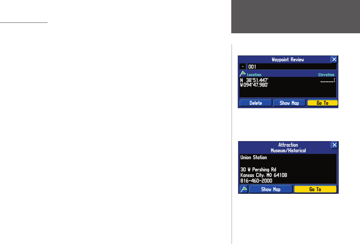
Once you have marked a waypoint, you can route
to it, show it on the map, or delete it.
You can route to a map item by selecting ‘Go To’.
Map Page Options
2610_2650 OM.indd 11 8/1/2003, 4:15:46 PM


