


Reference
7
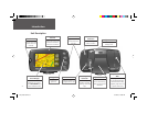
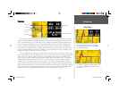
Map Page
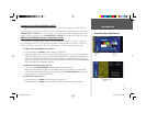
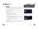
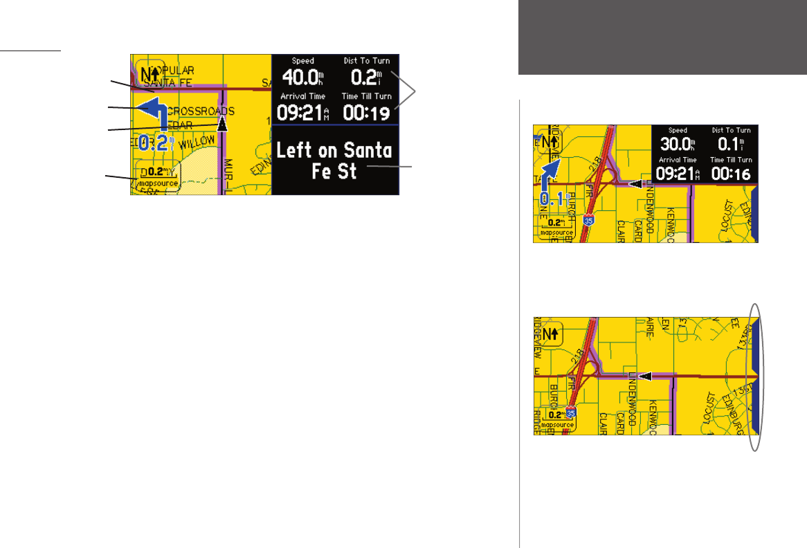
The Map page is the main operating page of the StreetPilot 2610/2650. It graphically shows you map
details, your current location, and marks your route to a destination with a magenta colored route line. It
tells you what direction to go or the direction you are traveling. Customizable data tabs on the right side
allow you to display information such as your speed, the distance you have traveled, the distance to the
next turn, the time remaining before reaching the next turn, and more. If the StreetPilot 2610/2650 has
yet to calculate your location, there is a fl ashing question mark over the vehicle pointer and the status text
displays ‘Acquiring Satellites’, ‘Searching for Satellites’, or ‘Locating Satellites’. A ‘Ready to Navigate’ voice
prompt and tab text (if a tab is set to ‘NextTurn’) appears.
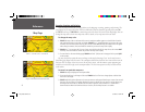
The map display shows your present position and direction of movement as a triangular ‘Position Icon’
in the center of the map. The map display also shows the map scale, north reference, and geographic details
such as lakes, rivers, highways, and towns. When you are driving on roads that are not present in the
maps, you may see a circle drawn around the position pointer. This is the ‘ accuracy circle’. The StreetPilot
2610/2650 uses both map resolution and GPS accuracy in defi ning your location to a point within this
“accuracy circle”. The smaller the circle, the more accurate your location. More detailed map features as
well as information about those features can be displayed using a CF data card containing map data trans-
ferred from a Garmin MapSource CD-ROM. When you zoom into smaller map scales, “MapSource” appears
directly below the map scale indicating that MapSource data is being used to draw a more detailed map.
The map may be also be toggled between a North Up or Track Up orientation. (see page 12)
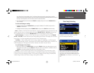
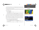
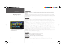
For maximum map display, you can select ‘Hide
Tabs’. This section of the manual discusses how to
select between the displays. You may also TOUCH
the tabs to hide/show them.
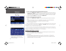
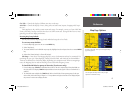
The ‘Hide Tabs’ confi guration showing no Naviga-
tion Information. TOUCH the placeholder to show
the tab again.
Map Page
Map Scale
Route Line
Your Current
Position
Data Fields
Driving Instructions
Next Turn
2610_2650 OM.indd 7 8/1/2003, 4:15:43 PM