


Magellan NAV 6500/NAV 651050
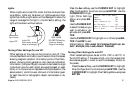
TER. Use the CURSOR KEY to adjust the numerical value
and press ENTER.
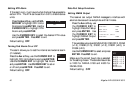
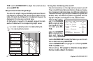
Bathymetrics and Soundings Range
You can enter a depth range under Bathymetrics and Sound-
ings Range for displaying spot soundings and depth contour
labels. All depth soundings within the selected range will be
displayed on the map as a numerical value.
All bathymetric lines within the selected range will be dark-
ened and labeled with the corresponding depth values.
In order to see bathymetric line labels, Bathymet-
ric Lines must be turned on.
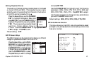
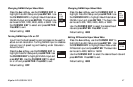
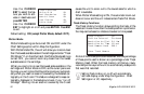
Nav-Aids and Features Menu
Port & Services ON
Attention Areas Contour
Tracks & Routes ON
Lights No Sector
Buoys & Beacons ON
Signals ON
Cartograph. Objects ON
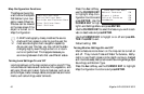
Turning Nav-Aid Settings On and Off
Nav-Aid icons shown on the map can be turned on and off.
They include Ports and Services; Attention Areas, such as cau-
tion, danger and restricted areas, and offshore installations;
Tracks and Routes; Lights; Buoys and Beacons; Signals, such
as radar, radio, and electronic positioning systems; and Car-
tographic Objects, such as generic lines, areas and texts.
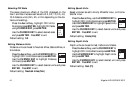
Press the Aux softkey,
use the CURSOR
KEY to highlight Map
Configuration Func-
tions and press EN-
TER.
Use the CURSOR
KEY to highlight Nav-
Aids and Features
Menu and press ENTER.
Use the CURSOR KEY to select the feature you wish to acti-
vate or deactivate and press ENTER.
Use the CURSOR KEY to highlight on or off and press EN-
TER. Press ESC to exit.
Default setting: ON (except for Attention Areas, default:
Contour; Lights, default: No Sector).
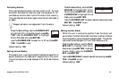
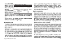
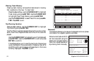
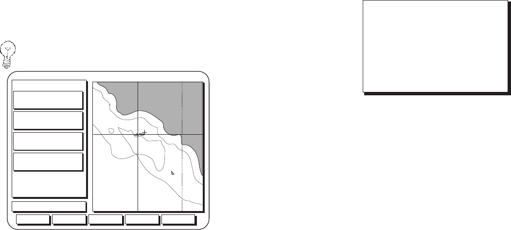
Aux Waypts Routes NxtScrn
03:07:21 PM
To Cursor
BRG 035` M
DTG 6.7
n
m
COG 359` M
SOG 7.0
XTE --.-
TRN ---`
34`06'34"N
119`26'01"W
GPS Fix
Scale: 954
k
t
n
m
Hide
n
m
656
656
656
3280
3280
3280
3280