


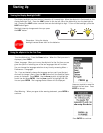
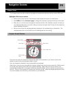
Navigation Screens
22
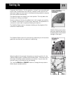
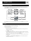
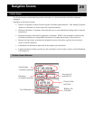
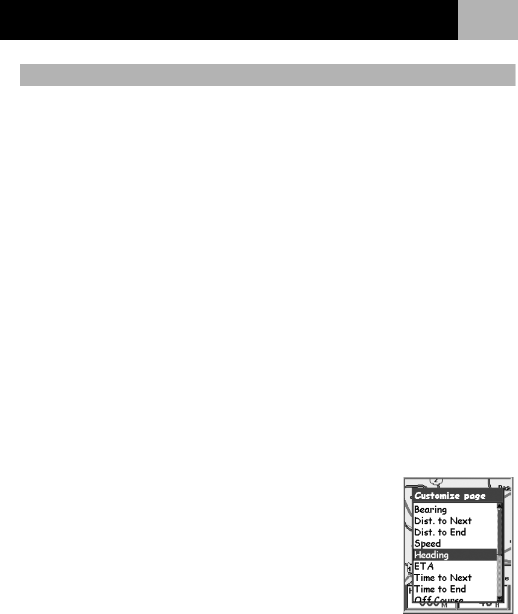
The information displayed at the bottom of the screen can be customized to change what is shown in the two
map information fields. You can select from:
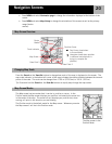
•Bearing
• Distance to Next (Next leg in multi-leg routes)
• Distance to End
• Speed [default]
• Heading [default]
• ETA (Estimated Time of Arrival)
• Time to Next (Next leg in multi-leg routes)
• Time to End
•Off Course
•Direction
•Elevation
•Time
•Date
• Accuracy
•Avg. Speed
• Max. Speed
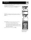
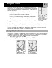
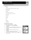
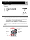
To customize the map information:
1. While viewing the Map screen, press MENU.
2. Use the Arrow joystick to highlight Customize page.
3. Press ENTER.
4. Use the Arrow joystick to highlight Customize Fields.
5. Press ENTER.
6. The title bar for one of the fields is highlighted. Use the Arrow joystick to
highlight the title bar for the field you want to customize.
7. Press ENTER.
8. Highlight the information you want displayed from the list.
9. Press ENTER.
10. The highlight will automatically jump to the other field. Go back to step 5 to change the information
displayed for this field.
11. When the information to be displayed is chosen, press ESC to exit the customize function.
Customizing the Map Information