waypoints
in the
route have
have a Starlink model MRB-2A beacon
receiver, you
don't
have to enter
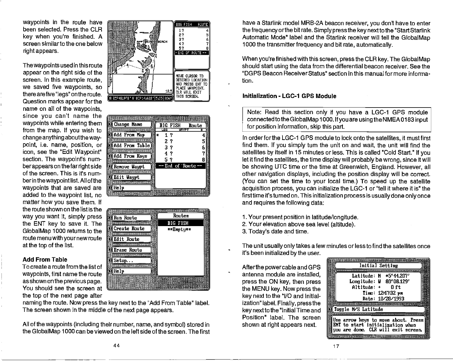
been selected. Press the CLR
key
when
you're
finished. A
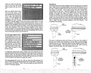
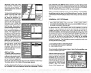
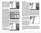
screen similar to the one below
right appears.
Thewaypoints
used inthis route
appear
on the
right
side of the
screen. In this
example route,
we saved five
waypoints,
so
there arefive
"legs"
on the route.
Question
marks
appear
for the
name on all of the
waypoints,
since
you
can't name the
waypoints
while
entering
them
from the
map.
If
you
wish to
change anything
aboutthe
way-
point,
i.e.
name, position,
or
icon,
see the "Edit
Waypoint"
section. The
waypoint's
num-
berappears
on thefar
right
side
of the screen. This is it's num-
ber in the
waypoint
list. All
of the
waypoints
that are saved are
added to the
waypoint list,
no
matter
how
you
save them. If
the route shown on the
list isthe
way you
want
it,
simply press
the ENT
key
to save
it. The
GlobalMap
1000 returns to the
route menu with
your
new route
at the
top
of the list.
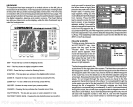
Add From Table
To create a routefrom the list of
waypoints,
first name the route
as shown on the
previous page.
You should see the screen at
the
top
of the next
page
after
a
(Change
Name
i
1ddFrom
Map
)
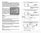
BIG FISH Eoute
LEG WAYPT S
*
1? 4
2 ? S
3 ? S
4
9
7
ç
.
Add From
Table)
(Add
From
Keys
(Remove IJaypt
ft6'I—
Edit
Way$
c
naming
the route. Now
press
the
key
next to the "Add
From
Table" label.
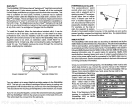
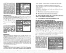
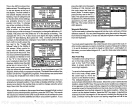
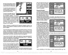
The screen shown in the middle of the next
page appears.
All of the
waypoints (including
their
number, name,
and
symbol)
stored in
the
GlobalMap
1000 can be viewed on the left side
of the screen. The first
thefrequency
orthe bit rate.
Simply press
the
key
nextto the "Start Starlink
Automatic Mode" label and the Starlink receiver will
tell
the
GlobalMap
1000 the transmitter
frequency
and
bit
rate,
automatically.
When
you're
finished with this
screen, press
the CLR
key.
The
GlobalMap
should start
using
the data from the differential beacon receiver. See the
"DGPS Beacon Receiver
Status" section in this manual for more informa-
tion,
Initialization
-
LGC-1 GPS
Module
Note: Read this section
only
if
you
have a LGC-1 GPS module
connectedto the
GlobalMap
1000. If
you
are
usingthe
NMEA 0183
input
for
position
information,
skip
this
part.
In order for the LGC-1 G PS module to lock onto the
satellites,
it must first
find them. If
you simply
turn the unit on and
wait,
the unit will find the
satellites
by
itself in 15 minutes or less. This is called "Cold Start." If
you
let it find the
satellites,
the time
display
will
probably
be
wrong,
since it will
be
showing
UTC time or the time at
Greenwich, England. However,
all
other
navigation displays, including
the
position
display
will
be correct.
(You
can set the time to
your
local
time.)
To
speed up
the satellite
acquisition process, you
can initialize the LGC-1 or "tell it
where it is" the
firsttime it's turned on. This initialization
process
is
usually
done
only
once
and
requires
the
following
data:
1. Your
present position
in
latitude/longitude.
2.
Your elevation above sea level
(altitude).
3.
Today's
date and
time.
The unit
usually onlytakes
afew minutes or less to find the satellites once
it's
been initialized
by
the user.
Afterthe
powercable
and GPS
antenna module are
installed,
press
the ON
key,
then
press
the MENU
key.
Now
press
the
key
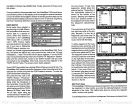
next to the "I/O and Initial-
ization" label.
Finally, pressthe
key
nextto the "Initial Time and
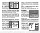
Position" label. The screen
shown at
right appears
next.
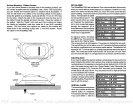
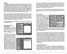
(
Initial
Setting
Latitude: N
*5°44207'
Longitude:
U 00008.1293
Altitude:
+
on
Tine: 12:47:32
pm
Date: 10/28/1993
arr
Toggle
N/S Latitude
Use
arrow
keys
to move about. Press
EI4T to start
initialization when
you
are done. CLE will exit screen.
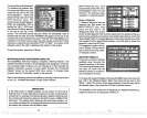
BIG Fi;H
ROUTE
—
END or PCuI.ITE
——
Ii 24E.9TE' nj
8O'14.622l5.O5l2.D6
——
End of loute
——
44
17
PDF compression, OCR, web-optimization with CVISION's PdfCompressor


