


Reference
23
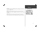
Customizing the Map
Auto Zoom - When the Auto Zoom is On and the StreetPilot is navigating on a Direct Goto or Route,
the StreetPilot will automatically adjust the map zoom so that the next waypoint is on the map screen.
Auto Zoom is set to Off at the factory.
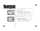
Track Log - The StreetPilot records your location and stores it in internal memory. When Track Log is
On, the recorded points are displayed on the Map Page. The StreetPilot stores the most recently
recorded points. To empty the memory select Clear on this field and the Track Log will be turned On if
it was Off before.
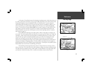
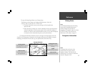
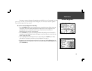
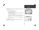
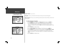
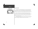
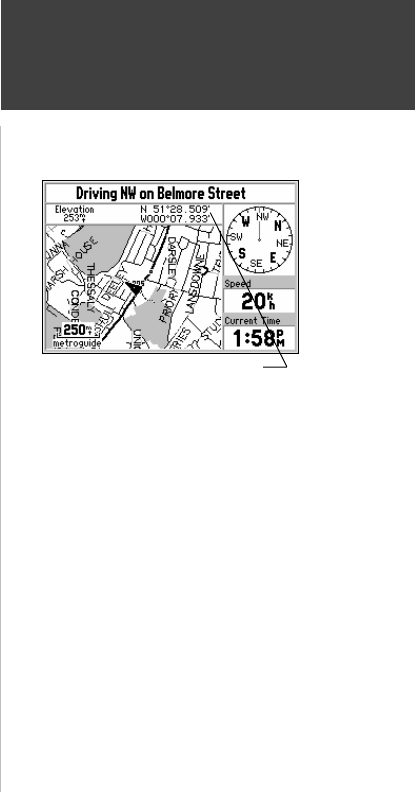
Lat/Lon - When On, the Map Page includes and extra window that displays your current location in
terms of elevation above sea level, latitude and longitude (top right picture). The StreetPilot shows
latitude and longitude in degrees, minutes and thousandths of minutes using the WGS-84 map datum.
Map Page with Lat/Lon Display