3-8
RayChart 420/420D Chartplotter
To move a waypoint using the Waypoint Edit functions:
1. Select the waypoint using the Waypoint List as described above. The
waypoint functions are displayed.
2. To edit the waypoint position proceed as previously described in Editing
the Waypoint Details.
3.3 Working with routes
A route is made up of a series of waypoints (maximum 50). To make a route you
place a series of waypoints on the chart.
When a route is created it becomes the current route and is displayed on-screen.
The current route is maintained when you power-off. Only one route can be
current and is displayed (if it is in the field-of-view) as solid lines connecting
waypoints. If you are following the route, the current leg is shown as a dotted
line. You can use the Waypoint Transfer functions to transfer the route and
waypoint database to a PC or another navigator.
When you have created a route you can use the GOTO key to follow the route.
The GOTO key provides various other options as described in Section 3.4.
Up to 20 routes can be saved in the route database. You can then select a route
from the database list to be used as the current route.
The current route can be edited by adding and/or moving waypoints. When a
route has been saved, options are also provided to name a route or erase a route.
This section explains how to perform the following tasks:
• Create a new route.
• Save the current route in the database list.
• Clear the current route.
• Retrieve a route from the database list as the current route.
• Display route information, including the route leg data and waypoint details.
• Use the database list to erase and name existing routes.
• Edit a route by adding, removing and moving waypoints.
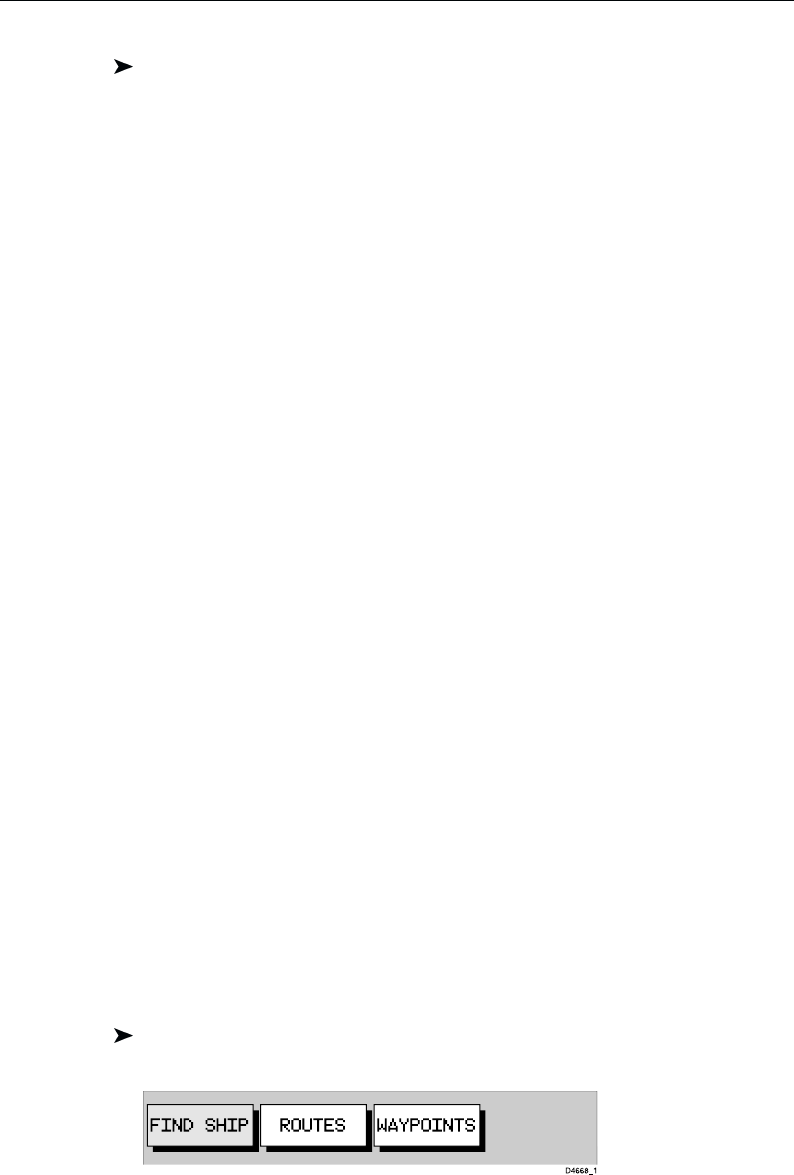
To access the route function bar:
1. Press ENTER to display the primary function bar:
2. Select ROUTES to display the first level functions:


