


NKClearNavManual•Version0.5•July3,2008
Page49of86
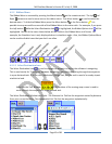
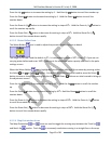
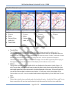
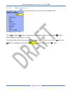
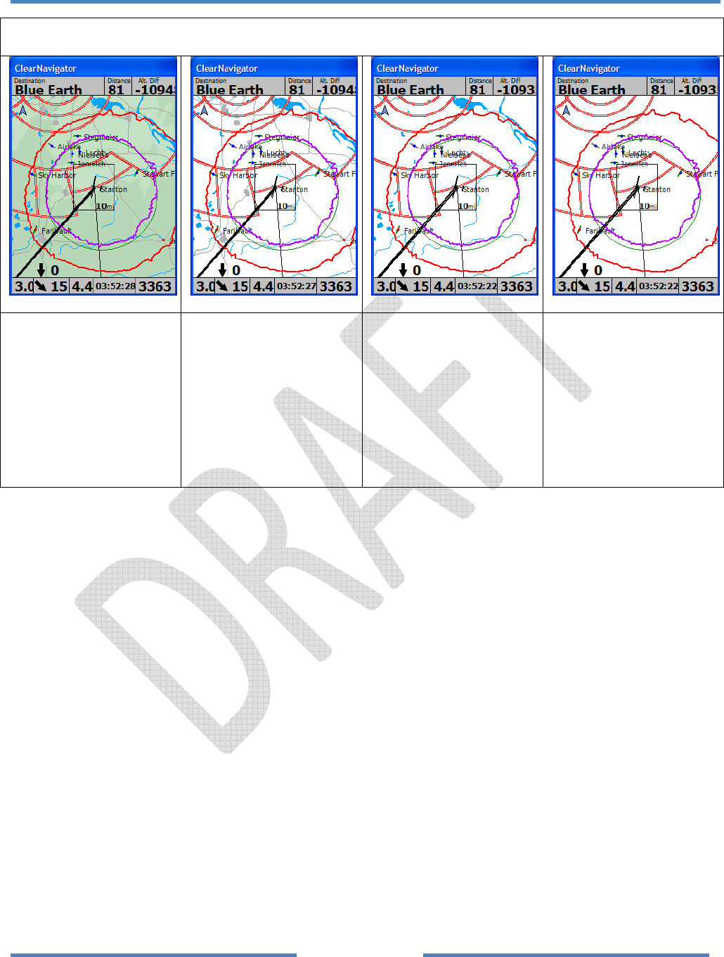
MapDataDisplayExamples
• Airports
• Airspace
• Water
• Culture(Cities,
roads,etc.)
• TerrainData
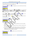
• Airports
• Airspace
• Water
• Culture(Cities,
roads,etc.)
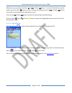
•
Airports
• Airspace
• Water
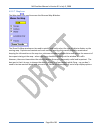
• Airports
• Airspace
• TerrainData
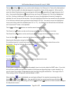
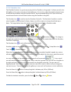
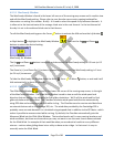
TerrainDataiscolorfulgroundelevationdatawhichshowsmountains,valleys,etc.In
mountainousareasitisnicetobeabletocomparetheterrainseenoutthewindowwiththe
terrainonthemap.However,thecolorfuldatacanincreasescreen“clutter”andmakeitmore
difficulttoseethedatayouneedtoseetoflythetask–suchasairportsandairspace.
Therefore,somepilotswillopttoturnoffthedisplayofterraindata(especiallywhenflyingin
flatregions)toimprovethecontrastofthedisplayandtoreducescreenclutter.
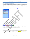
•
Culture
Culturedataincludescitiesandroadswhicharedisplayedonthemapinshadesofgrey.As
withTerraindata,somepilotswillwanttoviewthedatatohelpthemconfirmthatthecities
androadsviewedoutthewindowmatchthedatadisplayedonthemap.Otherswillpreferto
turnofftheCulturedatatoreducescreenclutter.Itisveryeasytoturnthedisplayofthe
Culturedataonanoff.ItcanbeenabledanddisabledindependentlyoftheWaterandTerrain
data.
• Water
Waterdataincludesriversandlakesandotherbodies
ofwater.AswiththeCultureandTerrain
data,somepilotswillwanttoviewthedatatohelpthemconfirmthattheriversandlakes