


GPSMAP 4000 Series Owner’s Manual 59
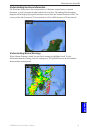
marIne netWork: uSInG Xm
usInG Xm
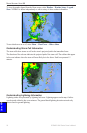
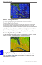
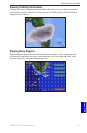
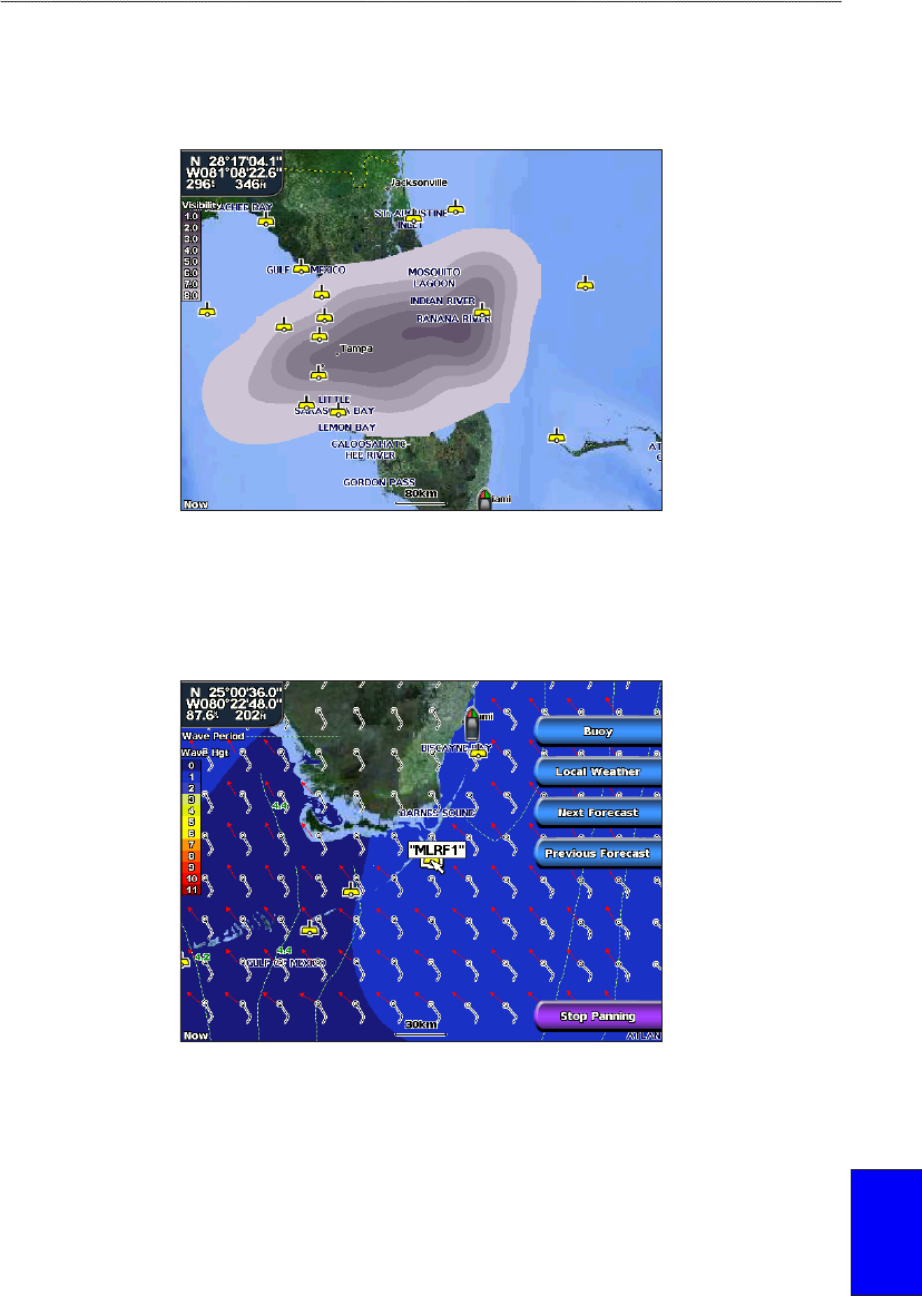
Viewing Visibility Information
Visibility is the forecast maximum horizontal distance that can be seen at the surface, as indicated
by the legend on the left of the screen. Contour lines on the Visibility feature show the forecasted
change in surface visibility.
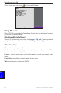
Viewing Buoy Reports
Report readings are taken from buoys and coastal observation stations. These readings are used
to determine air temperature, dew point, water temperature, tide, wave height and period, wind
direction and speed, visibility, and barometric pressure.