


20 GPSMAP 4000 Series Owner’s Manual
uSInG chartS
usInG
charts
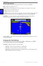
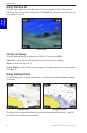
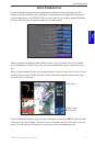
Viewing Current Station Information
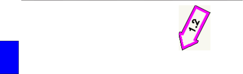
If current stations are available in your g2 Vision region,
they appear on the navigation chart as a highlighted arrow.
This detailed icon shows the current’s speed and direction
at a glance. For more information about current stations, see
page 29.
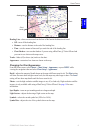
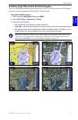
Detailed Road and POI Data
BlueChart g2 Vision contains detailed road and POI data, which includes highly detailed coastal
roads and points of interest (POIs) such as restaurants, lodging, local attractions, and more. For
instructions on searching for and navigating to these POIs, see the Where To section beginning on
page 23.
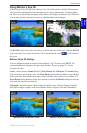
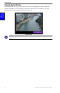
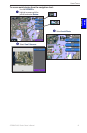
Using Automatic Guidance
Automatic Guidance automatically creates and suggests passage based on available BlueChart g2
Vision chart information. See page 38 for instructions on setting up Automatic Guidance for your
boat. The Where To section on page 23 has more information on how to use Automatic Guidance.
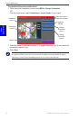
Current Station iconCurrent Station icon