


GPSMAP 4000 Series Owner’s Manual 57
marIne netWork: uSInG Xm
usInG Xm
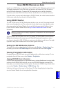
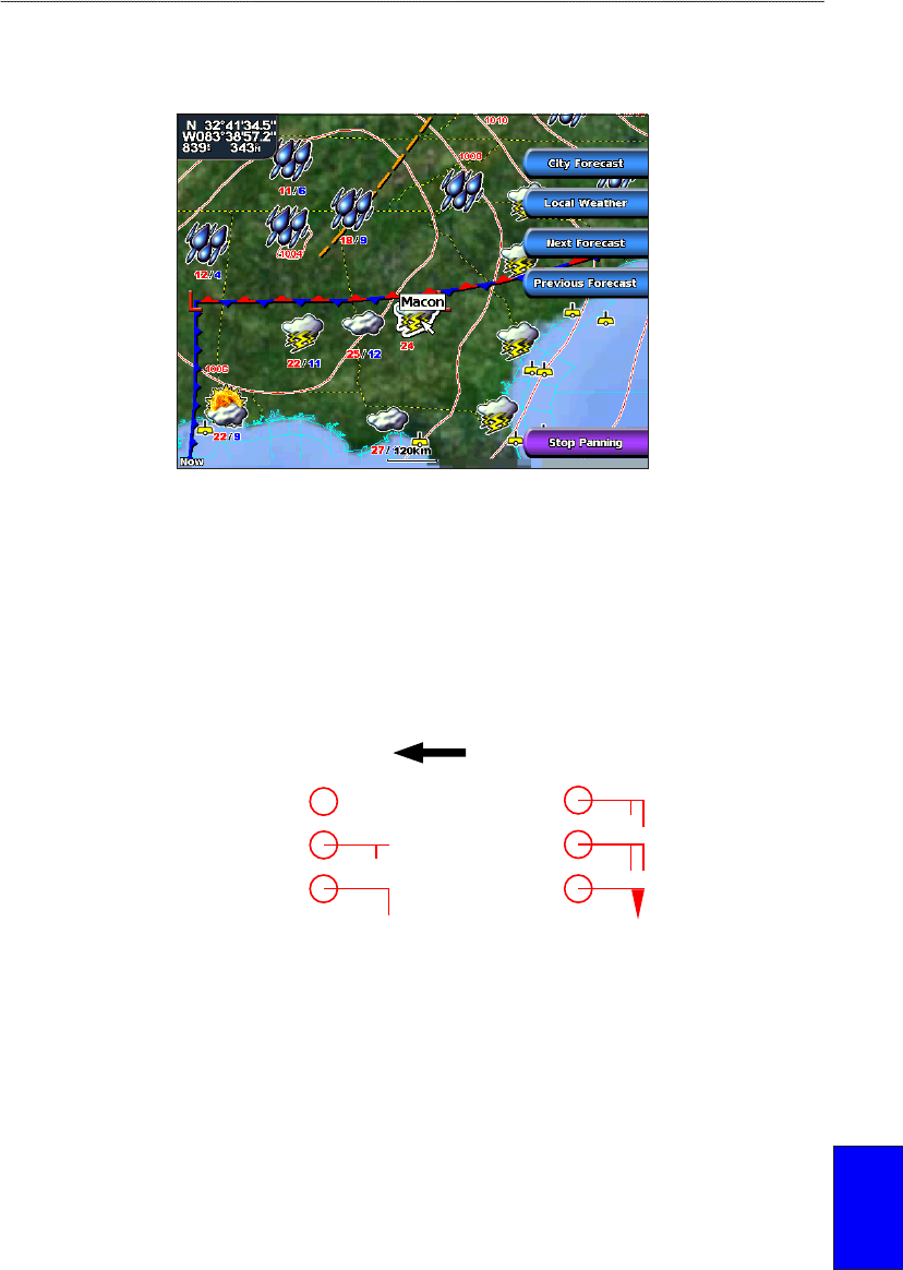
Understanding City Forecasts
City forecasts appear as standard weather symbols. The forecast is viewed in 12-hour increments for
the next 48 hours.
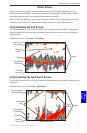
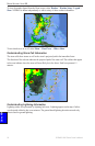
Viewing Sea Conditions
Sea Conditions provide surface conditions including winds, wave height, wave period, and wave
direction.
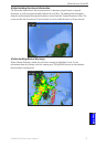
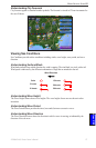
Understanding Surface Winds
Wind barbs indicate from which direction the wind is coming. The wind barb is a circle with a tail.
Wind speed is indicated by the different combination of ags that are attached to the tail.
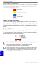
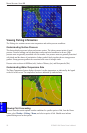
Calm
5 knots
10 knots
15 knots
20 knots
50 knots
Wind Direction
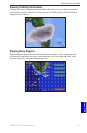
Understanding Wave Height
The Wave Height feature shows wave heights. The wave heights for an area are shown in color
intensities.
Understanding Wave Period
The Wave Period feature provides the time (in seconds) between successive waves.
Understanding Wave Direction
The Wave Direction feature shows the direction in which a wave is moving, as indicated by the
direction of the red arrow.