


GPSMAP 4000 Series Owner’s Manual 55
marIne netWork: uSInG Xm
usInG Xm
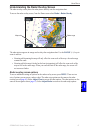
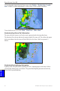
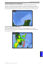
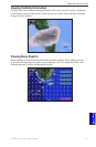
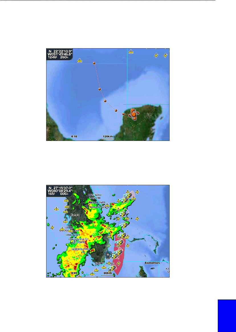
Understanding Hurricane Information
The Hurricanes feature shows the current position of a hurricane, tropical storm, or tropical
depression, as well as its projected path (indicated by a red line). The darkened dots that appear
along the red line display the projected locations received from the National Hurricane Center. The
center provides four forecasts at 12-hour intervals as well as a fth forecast at a 24-hour interval.
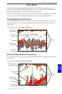
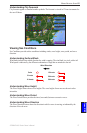
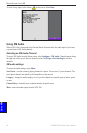
Understanding Marine Warnings
When a Marine Warning is issued, the area for the warning is highlighted in red. To view
information about the warning, select the warning area. The light blue lines on the chart indicate
marine weather warning zones.