


33
Reference
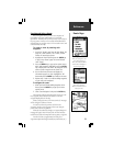
System Setup
Advanced Settings
These features are best used by individuals with a working
knowledge of map grids and datums. To learn more about these
subjects, visit the National Imagery and Mapping Agency at http://
www.nima.mil or inquire at your library.
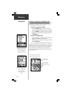
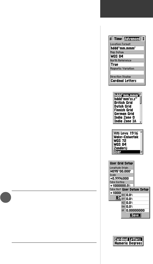
Location Format - Allows you to choose from different
grid formats. The default location format ‘hddd
o
mm.mmm’
displays the latitude and longitude in degrees and minutes
and is the one most commonly used. Selecting a location
format will cause the map datum to change to match the
new location format.
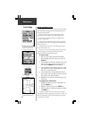
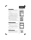
Map Datum - Offers a selection of nearly all map
datums in common use. Every map is based on a map
datum (a reference model of the earth’s shape) and is usu-
ally listed in the title block of the map. If you are
comparing GPS coordinates to a paper map, chart, or other
reference, the map datum in this field must match the
horizontal map datum used to generate the map or other
reference. The default datum is WGS 84 (World Geodetic
Survey 1984) and should only be changed when using
maps or charts specifying a different datum. If a map
specifies a datum, use the list to find datums applicable to
the region of the map, select one that provides the best
positioning at a known point. Choose the ‘User’ datum for
custom designed grids.
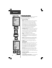
North Reference - Allows control of what the eMap
considers ‘North’. True - Uses True North. Magnetic - Uses
Magnetic North, which is continually updated based on
your current location. Grid - Uses North as defined by the
selected grid. User - Uses the Magnetic North Offset
determined by the value in the Magnetic Variation Field.
WARNING: If User Magnetic Variation is
selected, you must periodically update the
magnetic variation as your position changes.
When using this setting, the eMap will not
automatically calculate and update the magnetic
variation at your current location. Failure to
update this setting may result in substantial
differences between the information displayed on
the unit and external references, such as a
magnetic compass.
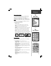
Direction Display - Changes the ‘Direction To Go’ field
and Map Panning box on the Map Page and Find pages from
Cardinal Letters (N, S, E, W) to Numeric Degrees (147
o
).
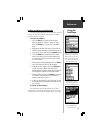
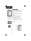
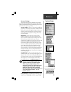
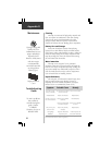
‘Advanced’ Settings Page
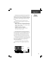
Location Format Options Menu
Map Datum Options Menu
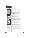
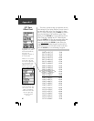
Direction Display Options
User Grid and Datum Setup Pages
require a working knowledge of custom
designed map grids and datums.
1