


23
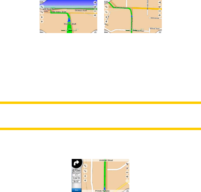
4.4.6 Current position and Lock-on-Road
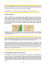
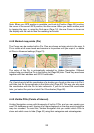
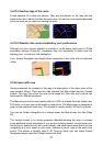
When your GPS position is available, a blue arrow (yellow when using night colours)
shows your location on the map.
The direction of the arrow represents your heading. The arrow is sized and vertically
rotated with the zoom and tilt levels to always look realistic.
Uniden Navigation has a built-in Lock-on-Road feature that always puts the position
arrow on the road, on the axis of the street in case of one-way streets, or on the side
of the road where you drive (e.g. on the right in Germany and on the left in the U.K.)
on two-way roads.
The location received from the GPS receiver is shown as a blue dot on the map. This
can help you locate your position if the GPS accuracy is poor, and the Lock-on-Road
system puts you on the wrong street. It is also the location saved in the track log
(Page 46).
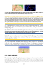
Note: the Lock-on-Road feature can be turned off in Advanced settings (Page 70) for
pedestrian use. When switched off, the arrow is displayed where the blue dot would
be with active Lock-on-Road.
When the GPS position is lost, the arrow turns grey and jumps to the last known position,
disabling Lock-on-Road (the last position before losing the reception is usually
inaccurate, and there is a chance that Lock-on-Road may choose the wrong street).
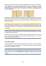
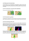
4.4.7 Selected map point, also known as the Cursor
If you tap the map somewhere or select a specic item in Find, it will become the
selected point on the map, marked with a small red dot and permanently radiating red
circles to make it conspicuous at all zoom levels, even when it is in the background
of a 3D map view. You can use this point as starting point, via point, or destination of
your route, you can search for a POI near to it, mark it with a drawing-pin, or save it
as a POI. The cursor, when visible, is also the reference point for map scaling.