


Reference
40
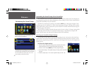
AutoZoom — When On, the Map page zooms in and out as you travel. As you approach a turn, the Map
page progressively zooms in. After the turn is completed, it will zoom out to show you the entire route.
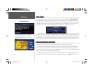
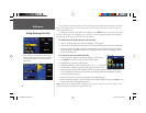
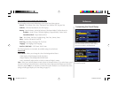
Line, Point, City, and Area tabs
Line tab — Controls how the track log, railroads, and street labels are displayed on the Map page. By
default, railroad names are not displayed.
Point tab — Controls how waypoints, exits, and POIs (points of interest) are displayed on the Map page.
City tab — Controls how cities of various sizes are displayed on the Map page.
Area tab — Controls how rivers, lakes, parks, and other areas such as airports, shopping malls, and hospi-
tals are displayed on the Map page.
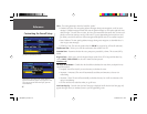
Each of the tabs above contain two common settings: Text Size and Max Zoom:
Text Size — Specifi es how large or small the names of items on your Map page will display. For
example, you may want names of lakes to appear in medium letters and names of large cities to be in
tall letters. You may want the names of parks to appear in short letters or not appear at all. If you do
not want the name of an item to appear on the Map page, select Off in the Text Size fi eld.
Max Zoom — Specifi es the maximum map scale at which a map item displays. If AUTO is selected,
the maximum map scale is determined by the Detail setting to prevent your Map page from becoming
too cluttered. If OFF is selected, the item will not be shown.
Some map data is only visible at certain zoom scale ranges. For example, you may set Street Label (from
the Line tab) to a Max Zoom of 200 miles, but the street names would not show above a 0.8 mile zoom
scale. Setting the Max Zoom to Auto generally gives the best display performance.
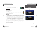
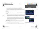
Resetting Map Setup Default Settings
You may reset (restore) map settings for each individual setup tab or for all tabs. First, make certain you
are on the Map Setup page. If you want to reset one tab setting, make certain that tab is highlighted on the
Map Setup page. Then, press the MENU key from your StreetPilot or remote. A Menu page appears. From
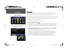
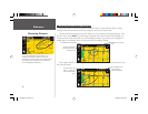
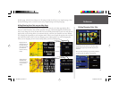
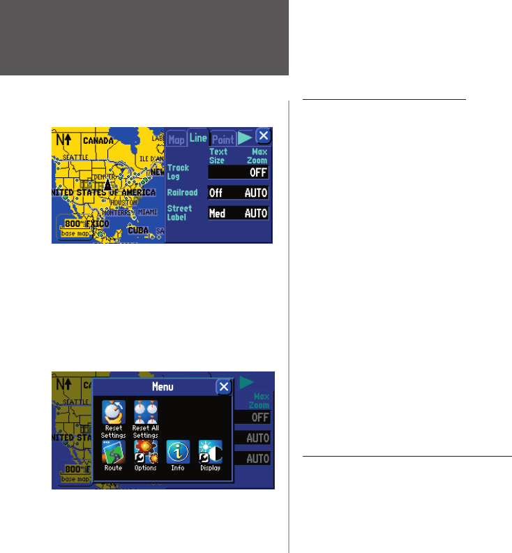
The Map Setup page shown above shows the Line
tab settings. You can change one or all of the settings.
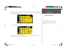
To restore them to their original settings, press your
StreetPilot’s MENU key. A Menu page will appear, as
shown below.
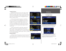
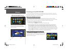
To restore the Line tab settings, select the Reset
Settings icon below. To restore all Map Setup settings,
select Reset All Settings.
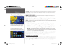
Customizing the Map Page
190-00342-00_0A.indd 40 4/13/2004, 9:57:04 AM