


170
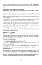
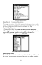
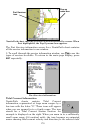
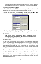
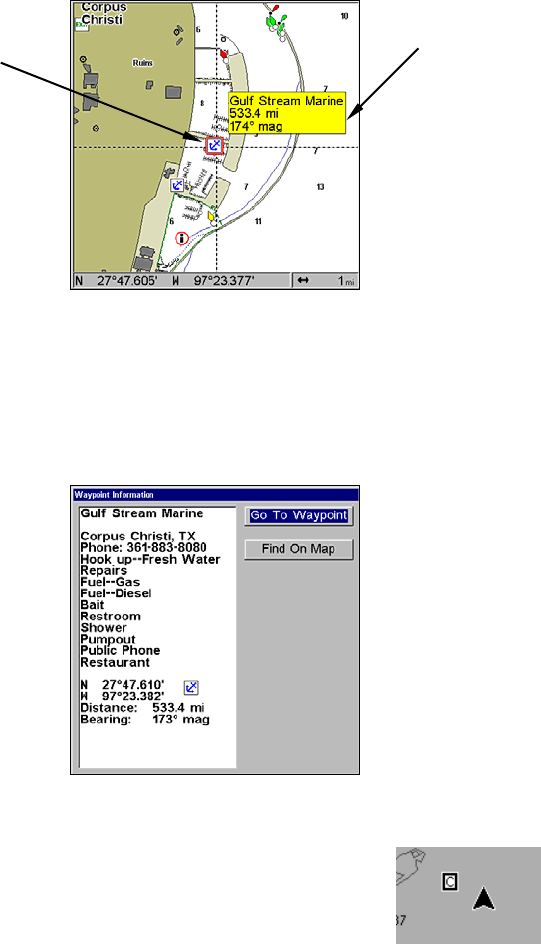
NauticPath chart showing Port Services icon selected by cursor. When
first highlighted, the Pop-Up name box appears.
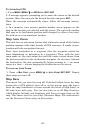
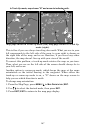
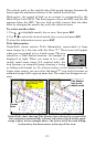
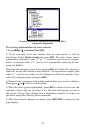
The Port Services information screen for a NauticPath chart contains
all the service information in one window.
3. To scroll through the service information window, use ↑ ↓ to see the
types of services available. To return to the main page display, press
EXIT repeatedly.
Port Services information.
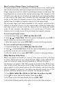
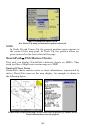
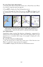
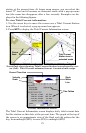
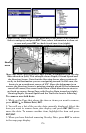
Tidal Current Information
NauticPath charts contain Tidal Current
information, represented at large zoom ranges by a
box icon with the letter "C." These icons will appear
when you are zoomed in to a 6-mile range. The icon
stands for a Tidal Current Station location. An
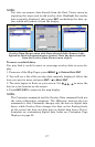
example is displayed on the right. When you zoom in to a sufficiently
small zoom range (0.8 nautical mile), the icon becomes an animated
arrow showing tidal current velocity and direction for the selected tidal
Port Services
icon
Pop-up
name box