


157
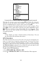
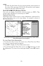
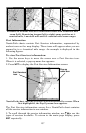
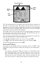
Entrance to Aransas Pass on a NauticPath chart with 8-nautical mile
zoom (left). Remaining images (left to right): same position at 4-
nautical mile, 1-nautical mile and 0.3- nautical mile zoom ranges.
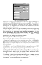
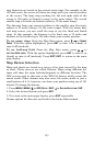
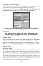
Port Information
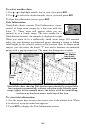
NauticPath charts contain Port Services information, represented by
anchor icons on the map display. These icons will appear when you are
zoomed in to a 4-nautical mile range. An example is displayed in the
following figures.
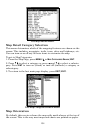
To view Port Services information:
1. Use the arrow keys to move the cursor over a Port Services icon.
When it is selected, a pop-up name box appears.
2. Press
WPT to display the Port Services Information screen.
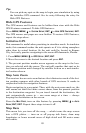
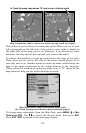
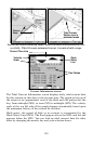
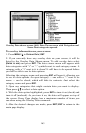
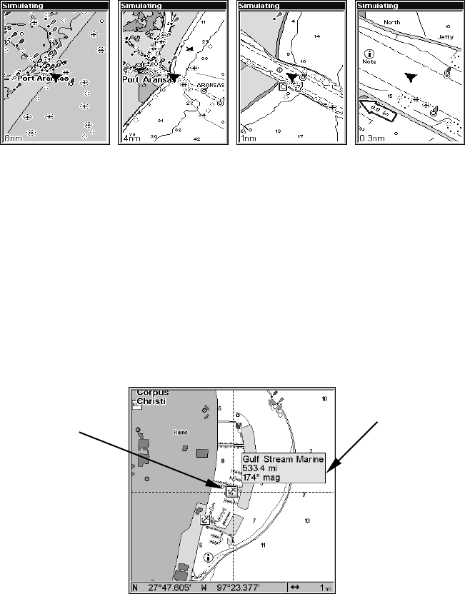
NauticPath chart showing Port Services icon selected by cursor. When
first highlighted, the Pop-Up name box appears.
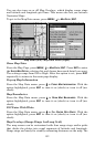
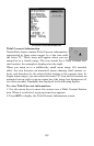
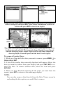
The Port Services information screen for a NauticPath chart contains
all the service information in one window.
3. To scroll through the service information window, use ↑ ↓ to see the
types of services available. To return to the main page display, press
EXIT repeatedly.
Port Services
icon
Pop-up
name box