


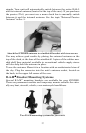
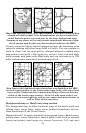
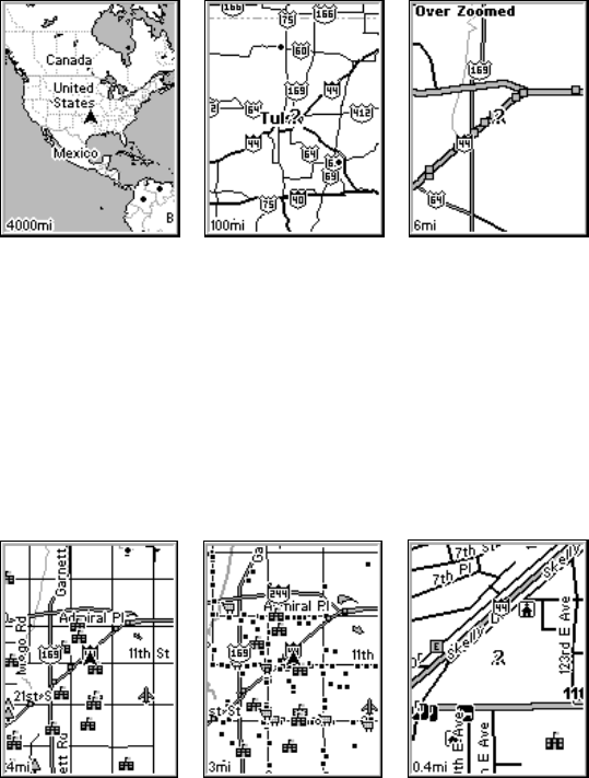
25
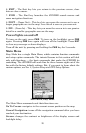
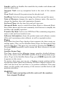
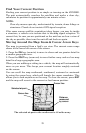
Map Page opening screen (left); Map zoomed to 100 miles (center); Map
zoomed to 6 miles (right). Over Zoomed means you have reached the
detail limits in an area covered only by the basic background map.
Zooming in any closer will reveal no more map details because a high-
detail custom map for this area has not been loaded on the MMC.
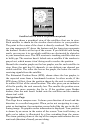
If you're using the factory-loaded background map, the maximum zoom
range for showing additional map detail is 8 miles. You can continue to
zoom in closer, but the map will be enlarged without revealing more
map content (except for a few major city streets). Load your own high-
detail custom map made with MapCreate and you can zoom in to 0.02
miles with massive amounts of accurate map detail.
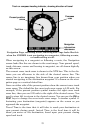
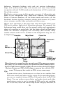
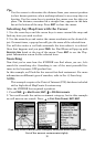
Map Pages with high-detail map of an urban area loaded on the MMC.
Arterial streets appear at the 4-mile zoom range (left), with a few Point
icons visible. Numerous dots representing Points of Interest become
visible at the 3-mile range (center). At the 0.4-mile zoom (right), you
can see an interstate highway with an exit, major and minor streets as
well as Point of Interest icons.
Background map vs. MapCreate map content
The background map includes low-detail maps of the whole world con-
taining cities, major lakes, major rivers, political boundaries and me-
dium-detail maps of the United States.
Medium-detail U.S. maps contain all incorporated cities; shaded metro-
politan areas; county boundaries; shaded public lands (such as national
forests and parks); some major city streets; Interstate, U.S. and state