


82 GPSMAP 3206/3210 Owner’s Manual
usIng sonar > sonar tab
sonar
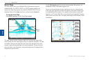
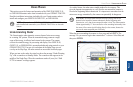
Using the Pointer on the Sonar Page
You can display the pointer (arrow) to reference sonar items and mark underwater
waypoints. This makes it easier to nd and use an object such as a stump as a
future shing location.
When using this feature, the Sonar Page pauses. The depth continues to update
while the display is paused, but the unit does not show any new sonar data until
the Sonar Page resumes scrolling. Discontinuity is possible from where the sonar
information stops and where it starts again.
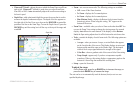
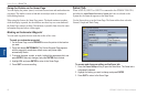
Marking an Underwater Waypoint
You can mark waypoints that are under the surface of the water.
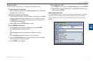
To mark an underwater waypoint:
1. OntheSonarPage,usetheROCKERtomovethepointertothelocation
youwant.
2. PressandreleaseENTER/MARK.TheReviewWaypointPageappears
withthewaypoint’scoordinates,defaultname,andpointerdepth
automaticallylledin.
3. Tochangethename,symbol,ordepth,highlighttheappropriateeld,and
pressENTER.Makeanychanges,andpressENTERwhennished.
4. HighlightOK,andpressENTERtoreturntotheSonarPage.
5. PressQUITtoresumescrolling.
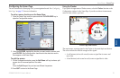
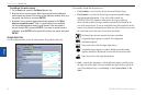
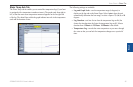
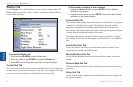
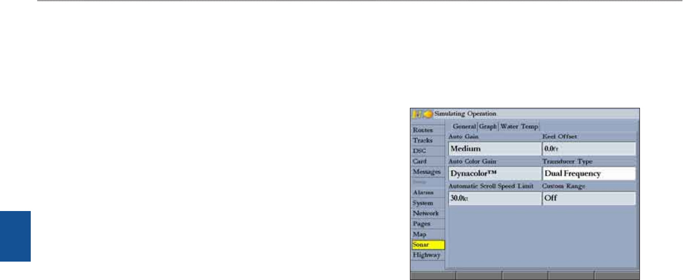
Sonar Tab
When a GSD 20, GSD 21 or GSD 22 is connected to the GPSMAP 3206/3210,
and either the Auto-Detect Services or Sonar check box is selected on the
System tab, the Sonar tab appears on the Main Menu.
Use the Sonar tab to set up the Sonar Page. The Sonar tab has three sub tabs:
General, Graph, and Water Temp.
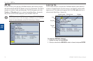
To access and change a setting on the Sonar tab:
1. PresstheSonar SetupsoftkeytoopentheMainMenu.TheSonartabis
automaticallyselected.
2.Highlightthesettingyouwanttochange,andpressENTER.
3.PressQUITtoreturntotheSonarPage.