


38 GPSMAP 3206/3210 Owner’s Manual
MaIn Pages > MaP Page
MaIn
paGes
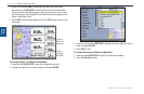
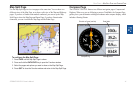
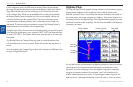
Selecting Map Ranges
The map display has 28 available range scales from 20 ft to 800 mi (5 m to 1200
km). The map range is controlled by the RANGE Up and RANGE Down keys,
with the current range shown at the lower-right corner of the Map Page.
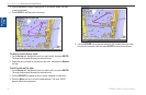
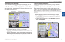
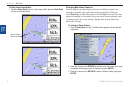
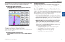
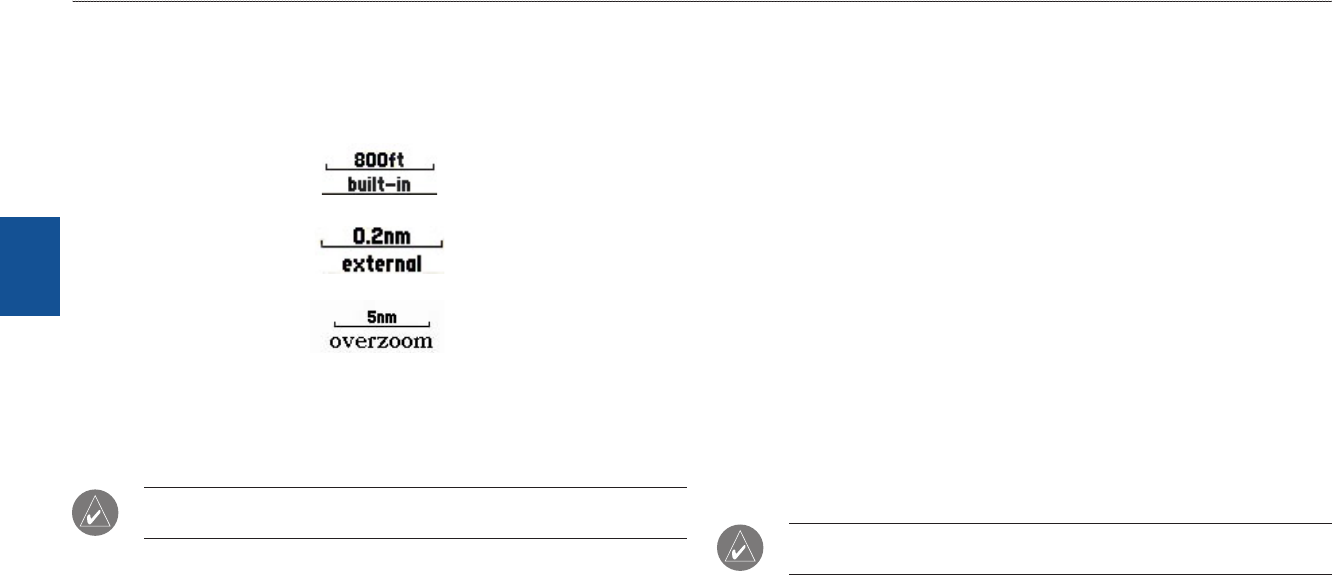
Using Built-In Basemap
Using BlueChart g2 Data
Overzoom, no additional data
To select a map range:
PresstheRANGEUpkeytozoomoutortheRANGEDownkeyto
zoomin.
NOTE: The scale value represents the distance from one end of the scale bar to
the other.
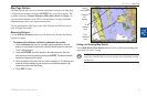
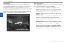
Cartography
The GPSMAP 3206/3210 contains preloaded marine map detail using
BlueChart
®
g2 technology. Coverage is for U.S. coastal areas, including Alaska
and Hawaii. Features include integrated mapping, 2-D or mariner’s eye map
perspective, tide and current data, improved IALA symbols, navaids, marinas,
boat ramps, roads, and more.
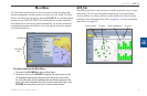
The GPSMAP 3206/3210 accepts preprogrammed data cards and are compatible
with the latest BlueChart
®
g2 series marine cartography. The unit shows
cartography as long as there is chart information available for the selected range.
Map coverage conforms to the following conditions:
Cartography appears when the selected zoom range is covered by either the
internal database, or BlueChart g2 data.
When the selected zoom range is covered by both the internal database and
BlueChart g2 data, the cartography with the best resolution appears.
When the selected zoom range exceeds the resolution of the data in use,
overzoom cartography appears and an overzoom warning appears below
the range.
NOTE: The GPSMAP 3206/3210 is not compatible with Garmin
BlueChart g2 Vision mapping data.
•
•
•