


GPSMAP 3206/3210 Owner’s Manual 11
basIc oPeratIon > usIng the gPsMaP 3206/3210
basIc
operatIon
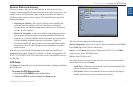
3. PressrightontheROCKERtomovetothenextcharacterontheline
orpresslefttomovebacktothepreviouscharacter.Pressleftonthe
ROCKERfromtherstcharacterpositiontocleartheeld.Ifthereare
morethantwolinesofdata,keeppressingrightontheROCKERtogoto
thenextline.
4. PressENTERtoacceptdataandmovetothenextprogrammableeld.
Not all data elds are programmable. When moving about a page with these
elds, the highlight skips them.
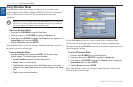
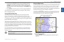
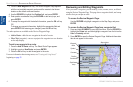
Using Additional Map Data
The GPSMAP 3206/3210 comes preloaded with the latest Marine Detail
Charts of the United States coastline (including Alaska and Hawaii) using
BlueChart
®
g2™ technology. This cartography features integrated mapping, 2-D
or 3-D map perspective, tide and current data, improved IALA symbols, navaids,
marinas, boat ramps, roads, and more.
With optional preprogrammed BlueChart g2 Garmin data cards, you can access
additional data including highly detailed coastal roads and points of interest such
as restaurants, lodging, local attractions and more. Full-color aerial photographs
of ports, marinas, bridges, and navigational landmarks are also included on many
preprogrammed BlueChart g2 data cards.
See your Garmin dealer or visit the Garmin Web site (www.garmin.com) for
more information on available pre-programmed Garmin data cards and other
MapSource programs.
NOTE: When networking with a Garmin GPSMAP 4000 or 5000 series unit,
map data is not shared.
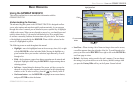
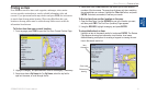
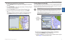
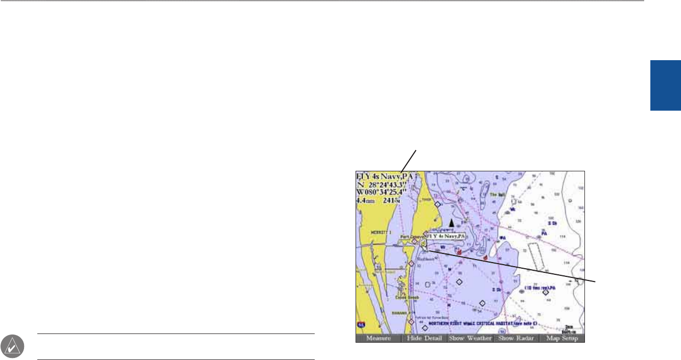
Using the Map Pointer
Use the map pointer to pan away from your current location and scroll to other
map areas around the world (even outside of your current detail coverage). As
you pan past the edge of the current map display, the screen actively scrolls
forward to provide continuous map coverage. An hourglass symbol appears by
the pointer while the unit is busy drawing new map detail.
Controlled by the ROCKER, the map pointer is an important tool that can be
used to pan to other map locations, mark and edit waypoints and routes, and
review location data of on-screen map items and waypoints.
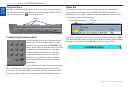
Map item name, pointer coordinates,
distance, and bearing
Map
pointer
To move the map pointer:
PresstheROCKERtomovethemappointerup,down,left,right,or
diagonally.