


3. PLOTTER OPERATION
3-16
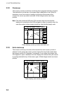
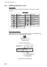
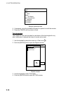
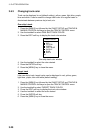
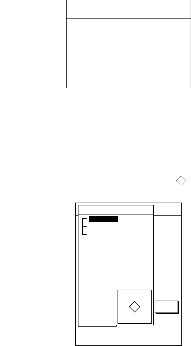
Color
white
Height
7. 00 Meters
Light characteristic
occulting
XXXXXXXX
XXXXXXXX
Navigation mark, fixed
Light.
Sample lighthouse data
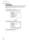
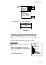
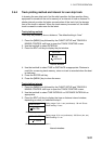
5. If necessary, move the trackball downward or upward to scroll the window.
6. Press the CANCEL soft key twice to finish.
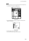
Tide information
The C-MAP NT chart card provides for calculation of the tide heights for any
date. Additionally it displays the times of sunrise and sunset.
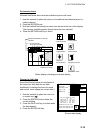
1. Use the trackball to place the cursor on a Tide icon (
T
).
2. Push the [ENTER] knob to open the Objects window.
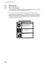
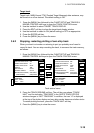
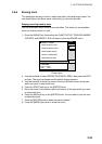
34 24. 3456 N 359.9 NU
124 24. 3456 W 59.9kt 024nm
+
OBJECTS
Tide height
Cartographic area
Source of data
T
RETURN
Objects window
3. Use the trackball to select Tide height.
4. Push the [ENTER] knob to open the TIDE window.